
Google Earth view looking east of the hike. Click on image for a larger view.
20100116hikeback.kml (hike back)
Google Earth view looking north of the hike. Click on image for a larger view.
This page is intended as a repository for files created for my hikes and bike rides that I will track using GPS. My GPS unit is a Lowrance Endura Out&Back. The routes are saved using the GPS eXchange Format (GPX) then converted over into KML files for Google Earth (using an online converter) and converted into GIS Shapefiles utilzing an ArcGIS Extension created by the Minnesota Department of Natural Resources. Projection for the GPS Shapefiles is NAD_1983_StatePlane_Virginia_North_FIPS_4501.
| Date | Description | Map/Image | KML Files (Google Earth) | GIS Shapefiles |
| 1/16/2010 | Hike along the Appalachian Trail from VA Route 7 north to the VA/WV Line. |
Google Earth view looking east of the hike. Click on image for a larger view. |
20100116hikeout.kml (hike out) 20100116hikeback.kml (hike back) |
20100116hike.zip |
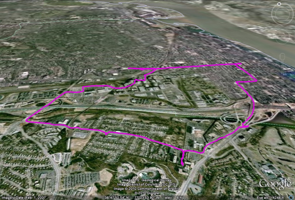
| 2/6/2010 | Hike around Old Town during the February 6 snowstorm (locally called several names, including SnOMG2, Snowpocalypse 2, and others). |
Google Earth view looking north of the hike. Click on image for a larger view. |
20100206snomg.kml | 20100206snomg.zip |
![]()
Page last modified 06 February, 2010