


Cumberland Gap Photos
This large set of photos is from a short excursion I undertook to Cumberland Gap National Historic Park in May, 2003, in particular to view the Gap itself and hike up to "Tri-State Peak", which is the point where Virginia, Kentucky, and Tennessee all come together. My basic route began at a parking area on the Virginia side (at the site of the former US 25E/US 58 junction), and followed the Wilderness Road westward to the Gap, then up Tri-State Trail to Tri-State Peak. The return trip was simply the opposite. All of these photos (except for one taken of myself) were taken by me on May 6, 2003.
Jump ahead to Tri-State Trail
Jump ahead to Gap area/Return Trip
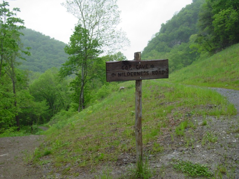
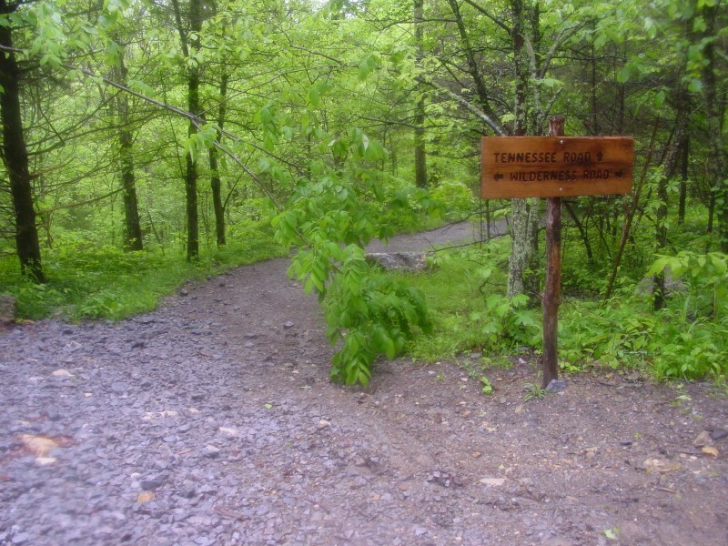
Wilderness Road
|
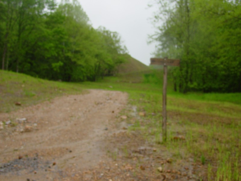
| Near a parking area on the Virginia side, not too far off of US 58. To the left is the way to the Gap. |
|
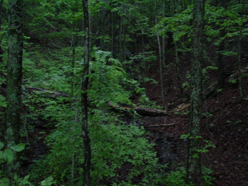
| Various scenes from along the Wilderness Trail. |
|
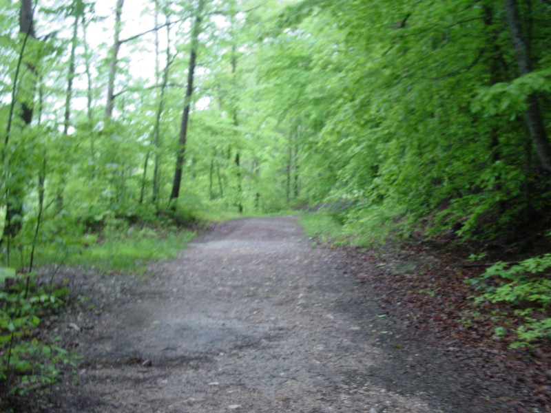
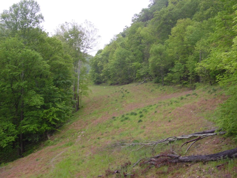
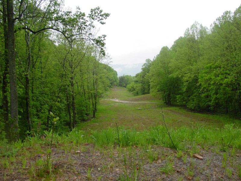
| Very good restoration work done here. Except for the gap in the trees, it would be hard to believe that prior to 1996, this was a very busy and very dangerous section of US 25E. The old road was so deadly that the area was nicknamed "Massacre Mountain". In 1996, the new 4-lane Cumberland Gap Tunnel opened, greatly improving travel safety, and the old road was restored ca. 2002 as much as possible to its natural state. |
|
| The low road continues along the trail towards the Gap. The high road leads to Cujo's Cave. |
|
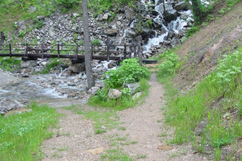
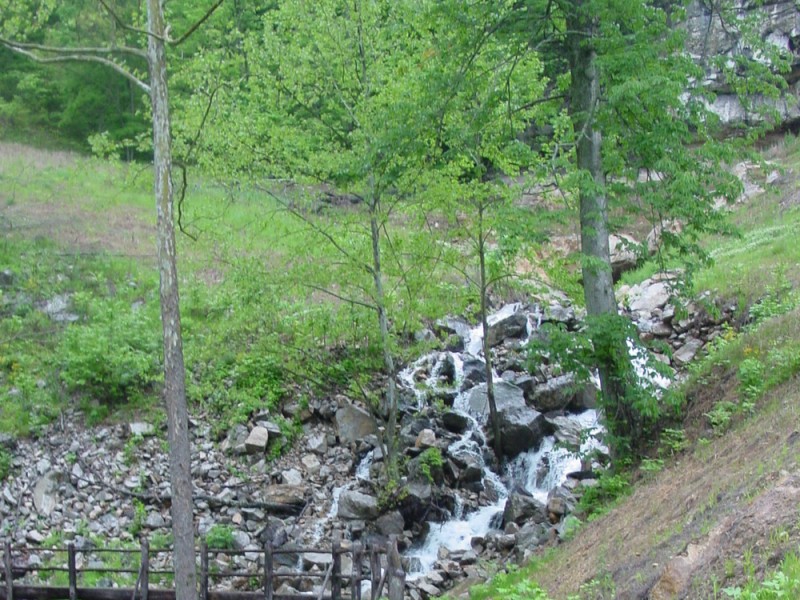
| Two views of a waterfall just down the hill from Cujo's Cave. The gap up the hill in the lower photo is where US 25E used to cross this waterway. |
|
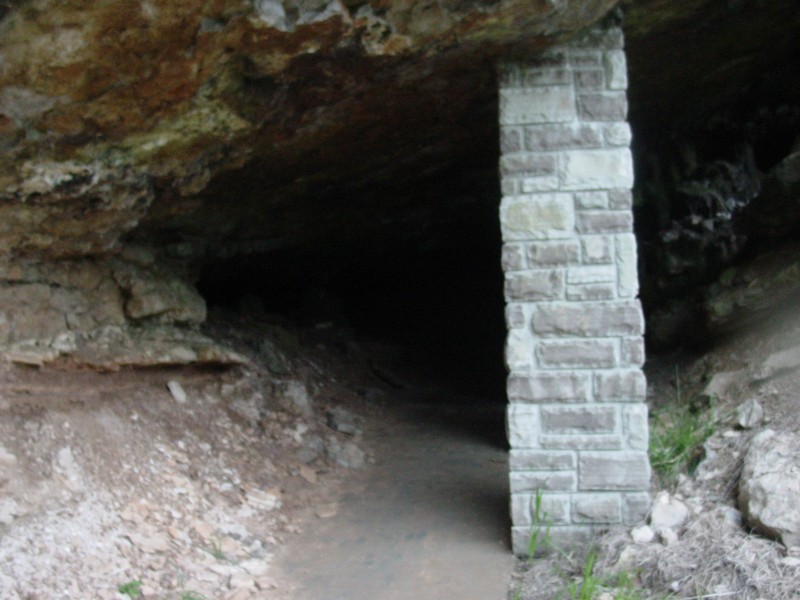
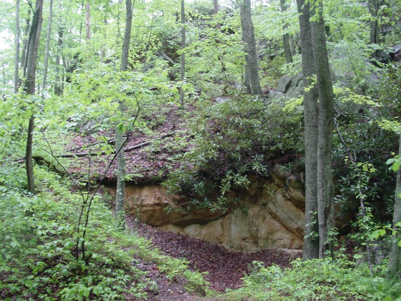
| A look inside Cujo's Cave, also named Soldier's Cave at one point due to its use by soldiers on both sides during the Civil War. |
|
| Looking west from Cujo's Cave towards the Gap. Except for the lack of trees, there is no evidence that a busy road used to run through here. |
|
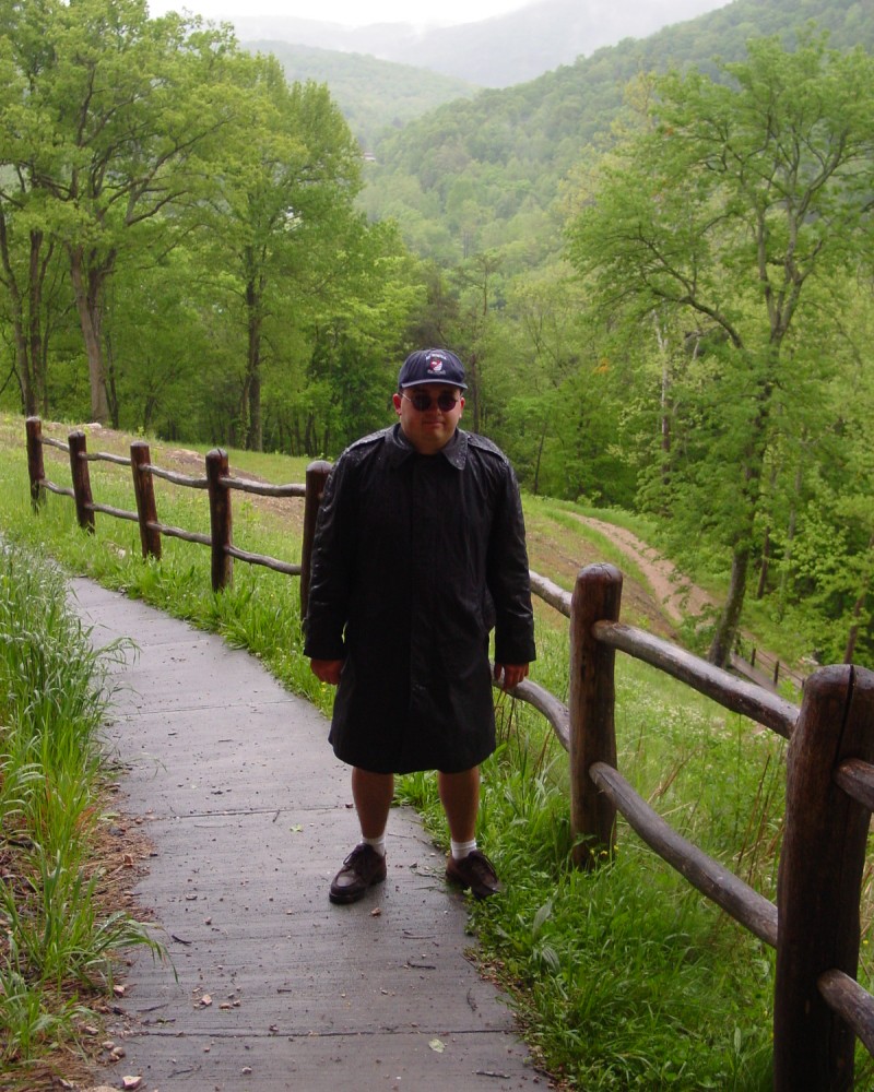
| Me standing outside the entrance to Cujo's Cave. |
|
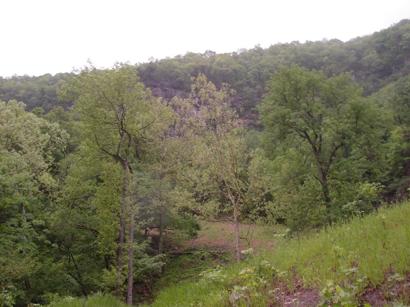
| A view of Cumberland Gap, TN as seen from the old roadway somewhere between Cujo's Cave and the Gap. |
|
| Looking westward at Kentucky through the Gap. The old road through here was 3 lanes wide, and the area has been significantly restored. |
|
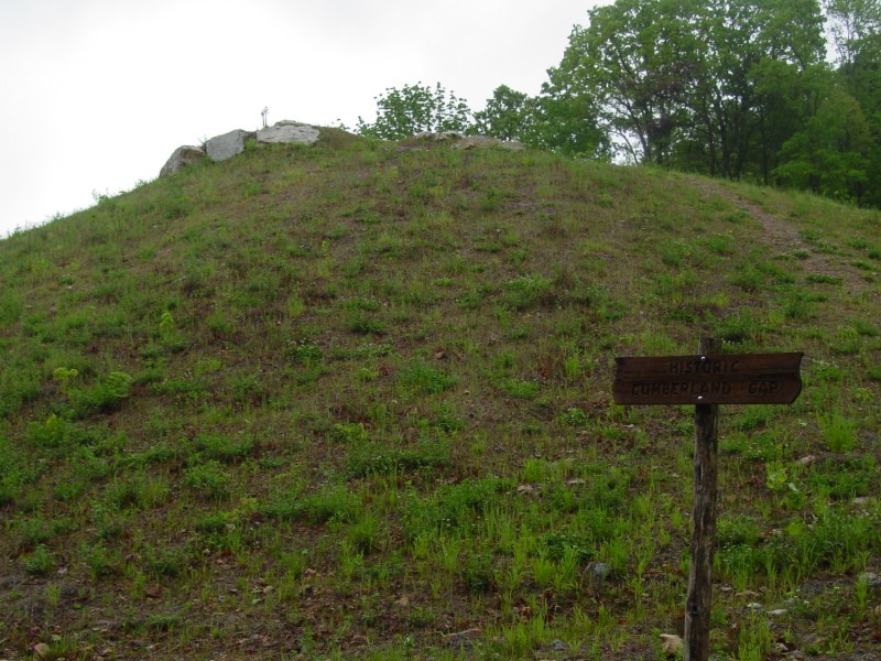
| The sign on the right (from the above photo) notes the Historic Cumberland Gap. There is a small memorial of sorts up the hill. |
|
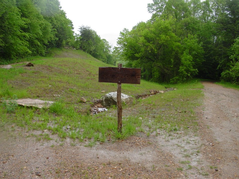
| To the left (from 2 photos above) is the start of the Tri-State Trail leading up to Tri-State Peak. This is also the northern terminus of what will become the Cumberland Trail. |
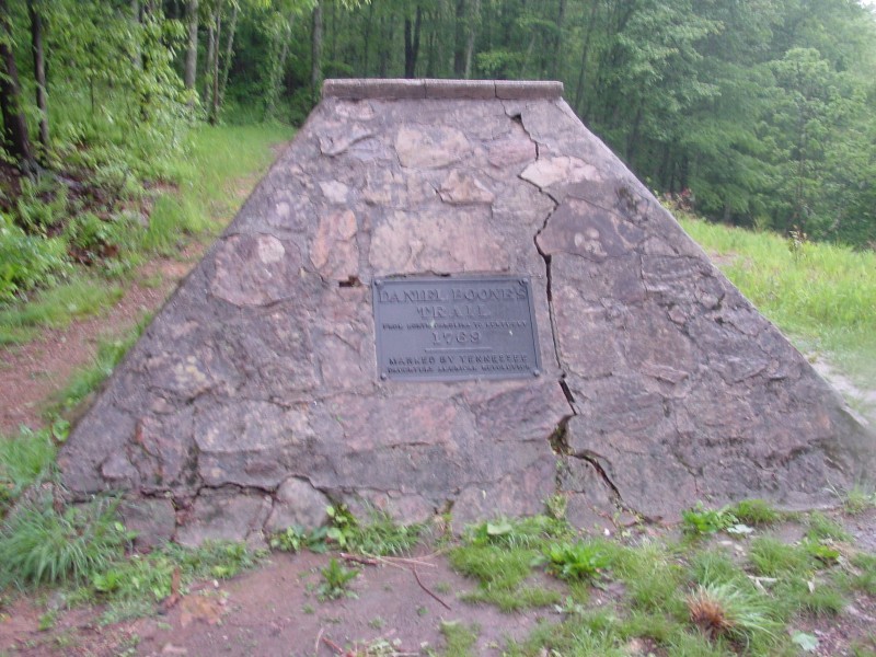 | The first thing seen on the Tri-State Trail, visible in the last photo above, is a historical marker with a plaque commemorating "Daniel Boone's Trail". |
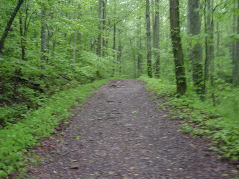  | Heading up the trail, passing by the site of a former Union Commissary during the Civil War. |
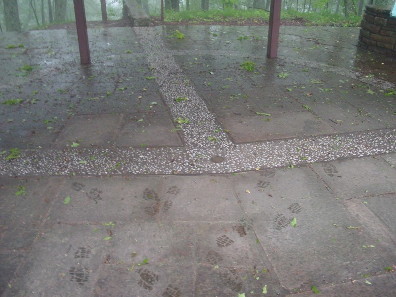
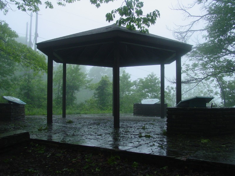 | At the top of Tri-State Peak. The point where three states come together is underneath the middle of the canopy. |
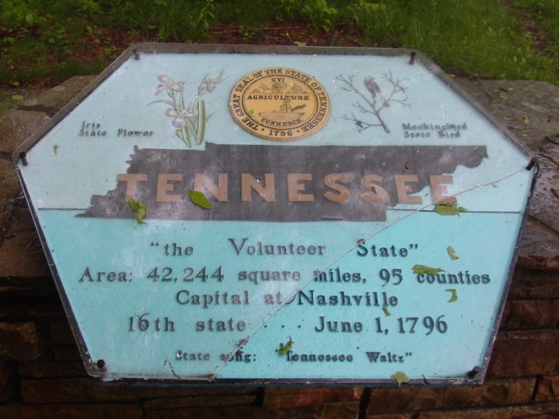 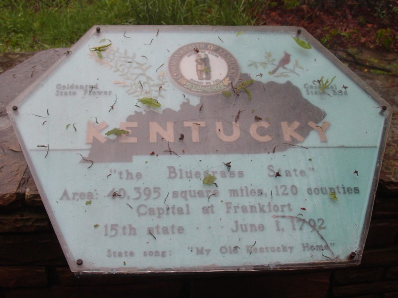 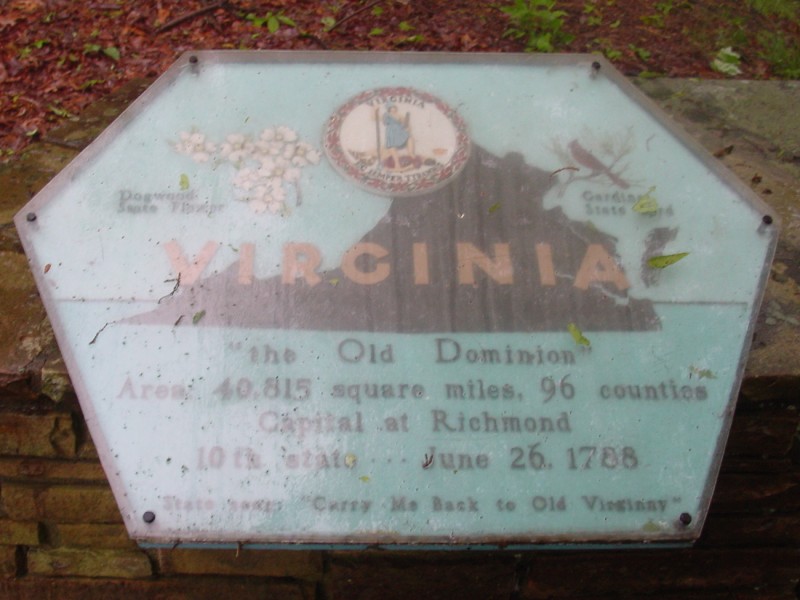 | There's a plaque for each state with some basic state information. |
 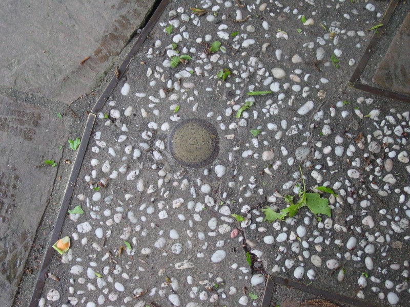 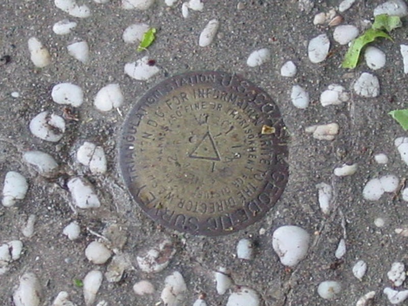 | The actual point is marked by a USGS marker. |
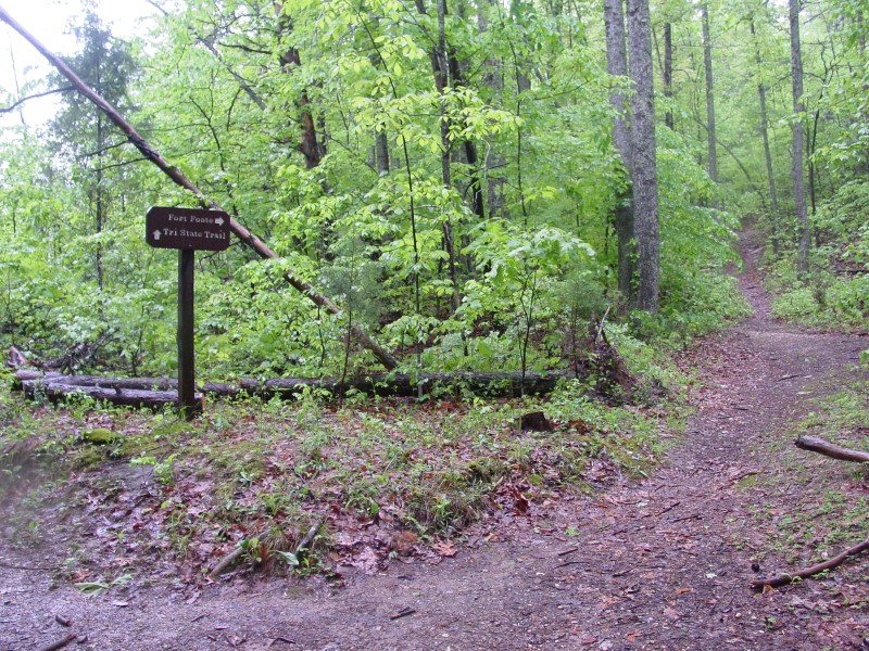 | Heading back down the hill, there's a trail that leads to Fort Foote. |
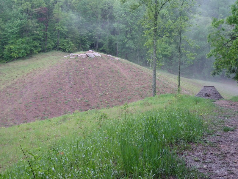
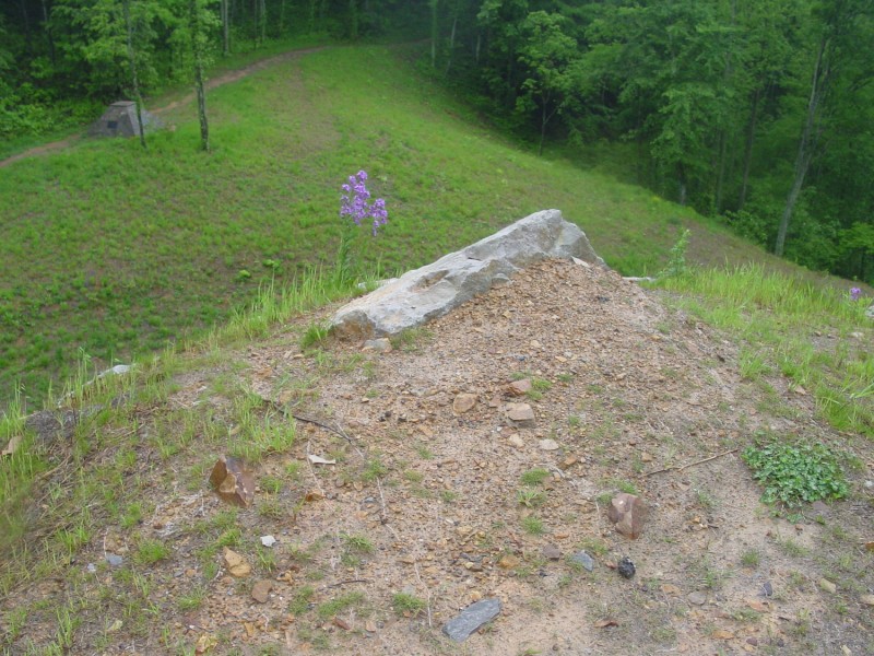
 | This crater, located near the Union Commissary sign photographed above, was formed during the Civil War when Union General Morgan blew up his ammunition to keep it from falling into Confederate hands in 1862. |
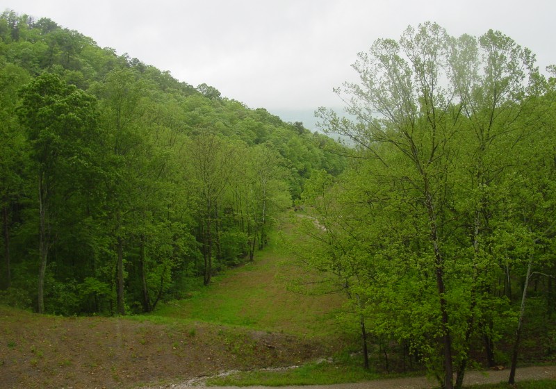
 | A somewhat side/overhead view of the Historic Cumberland Gap, as seen near the north end of the Tri-State Trail. |
  | Briefly heading northwest onto the Kentucky side of the gap. "Object Lesson Road" was a name given to the first paved road through the Gap: a macadamized road built in 1908 connecting Middlesboro, KY with Cumberland Gap, TN. |
 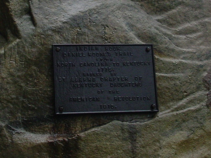 | The semi-famous "Indian Rock" along the Wilderness Road. |
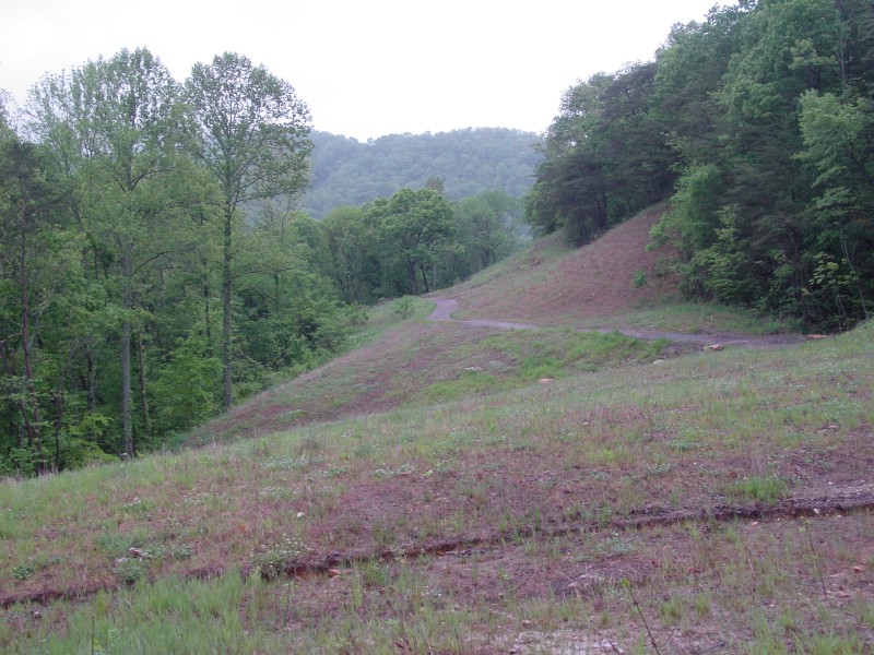
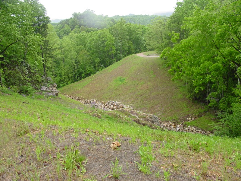 | At one point, this used to be a road on embankment with a culvert at the creek. It has been beautifully restored. The trail on the far side is part of the "Object Lesson Road" trail, while the Wilderness Road is off to my left. |
 | Blurry view looking back eastward towards the gap. |
 | This is a view looking down from the top of the historic gap. The trail in the left background is the Tri-State Trail as it passes by the Daniel Boone Trail marker. |
  | Back on the Virginia side, looking east at the old roadbed restored to its natural state. |
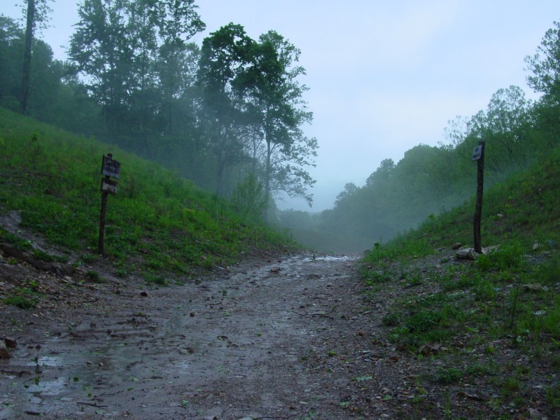
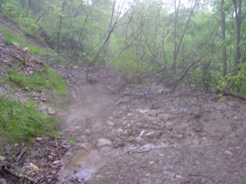 | At the time I took my trip, parts of the Wilderness Road were covered by mudslides, as was the case here. |
 | This spur trail leads down into Cumberland Gap, TN. |
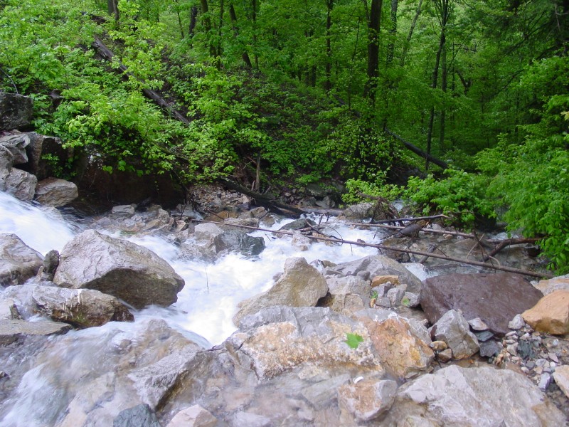 | Looking down the stream/waterfall noted in the first photo set. |
![]()
Page last modified 02 February 2005