


Interstate 68 in Maryland
These photos were taken on a trip along westbound I-68 in Maryland in early 2002. All photos were taken by the webmaster in January, 2002.
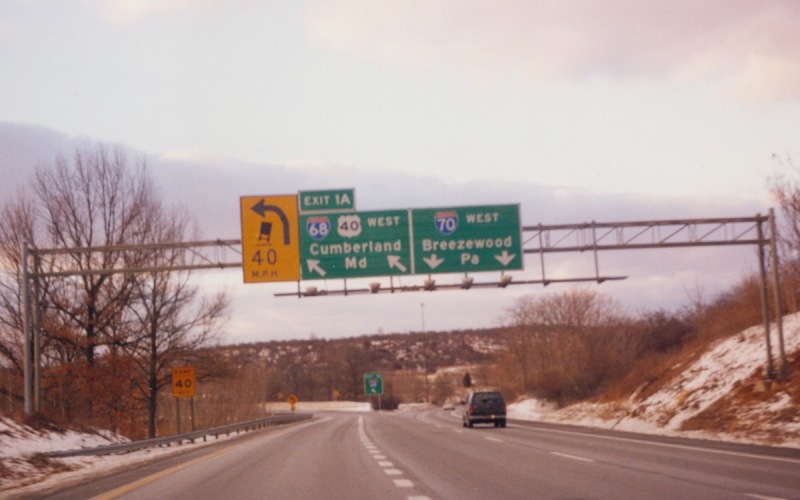
| Westbound I-68 begins by splitting off from I-70 near Hancock, MD. |
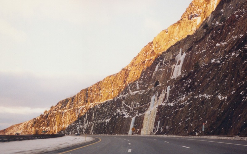
| About 6-7 miles west of I-70, westbound I-68 begins a climb up Sidelong Hill, with an impressive rock cut in the hill so that I-68 could pass through. The climb up includes a truck climbing lane, as do several of the hill climbs along I-68. |
| At the top of the hill, within the massive rock cut. |
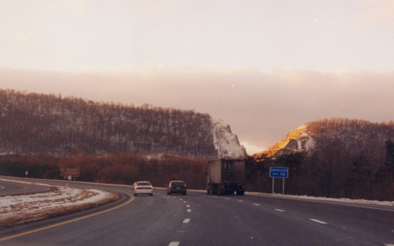
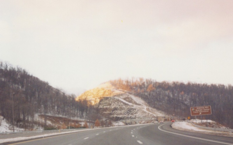
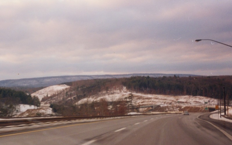
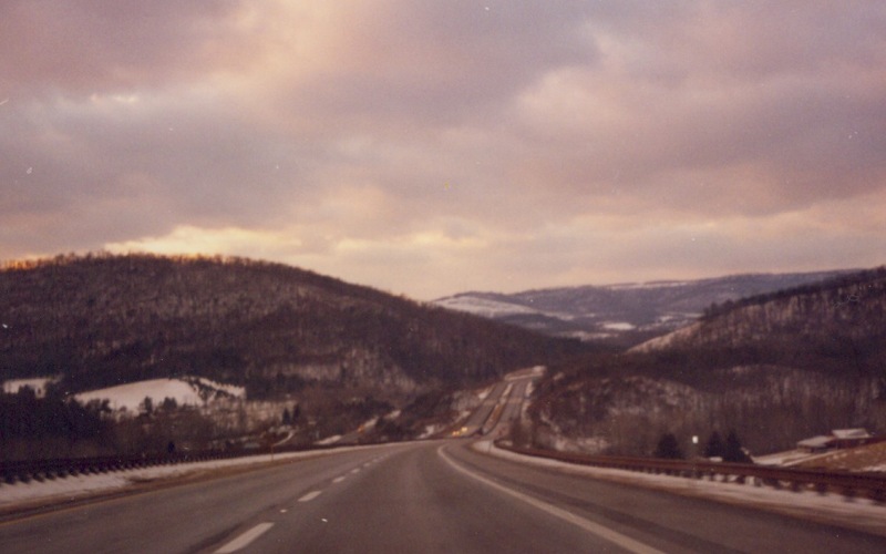
| I-68 traverses through some very hilly terrain through western Maryland, as these photos show. These four photos were taken from various locations along westbound I-68 between Sidelong Hill and Cumberland. |
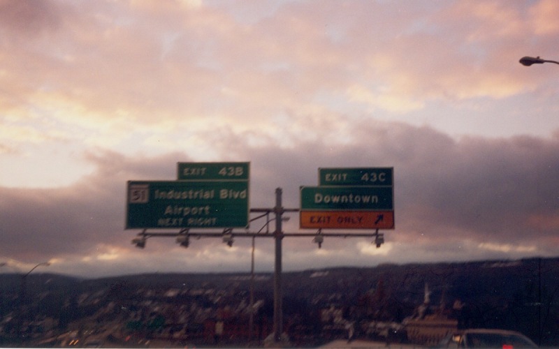
| I-68 through most of Cumberland predates the Interstate system, and this is apparent in its extremely substandard design, with narrow lanes, nonexistant shoulders, moderate curves, and limited acceleration/deceleration lanes at the ramps. Several exits have the guide signage posted at the gore instead of the traditional exit gore sign, as these two photos show. |
Back to Maryland Photography
Back to Highway Photography
![]()
Page last modified 22 January, 2006
(C) 2006 Adam Froehlig