Minneapolis Street and Road Scenes
These photographs document various highway scenes around the city of Minneapolis, MN. They are organized first by route type, then by route number.
|
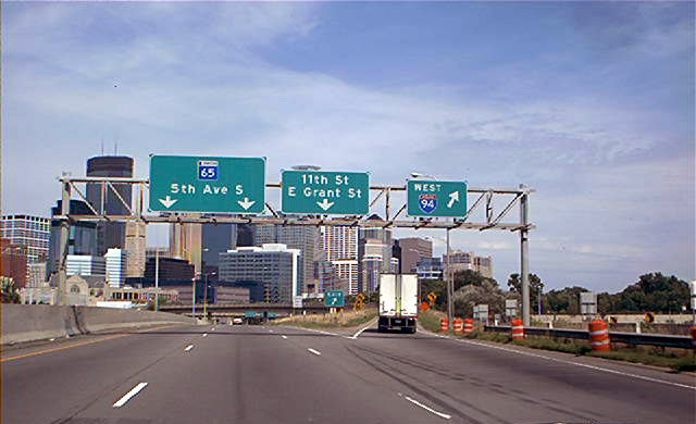
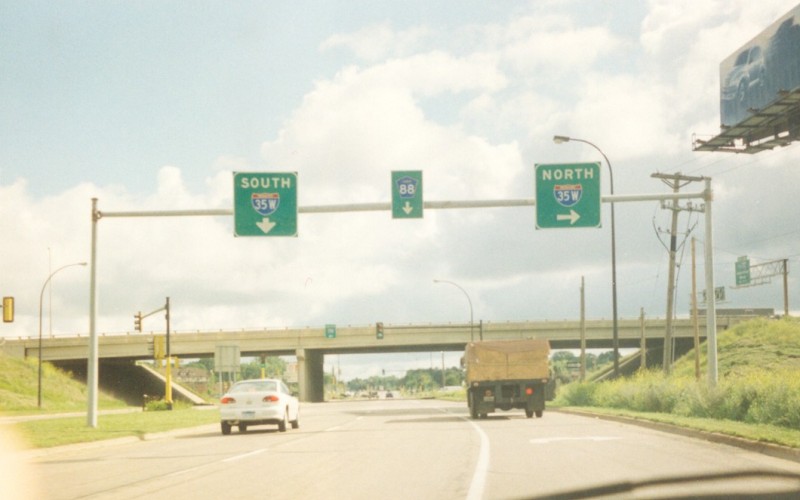
| Northbound MN 65, with downtown Minneapolis in the background behind the sign gantry. Photo by Don Greiskalns. |
|
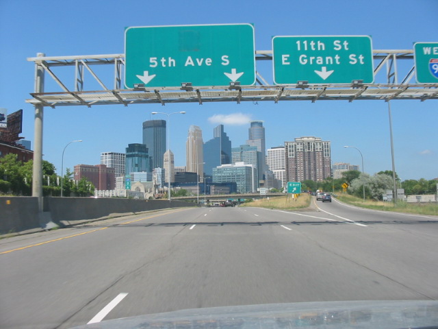
| By mid-2005, the MN 65 shield was gone, as MN 65 was dropped through downtown. The MN 65 designation remains on the freeway spur between I-35W and 10th St, but is now hidden along that segment. Photo by Glenn Olson, taken in July, 2005. |
|
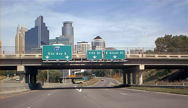
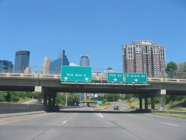
| Shortly thereafter is the exit to 11th St and Grant St. The freeway part of MN 65 ends just past the overpass in the far background, at 10th St. As with at I-94 west, the shield here was gone by mid-2005. Top photo by Don Greiskalns. Bottom photo by Glenn Olson, taken in July, 2005. |
|
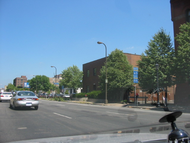
| MN 55/65 shields along northbound 5th Ave, between 10th St and 9th St, in downtown Minneapolis. MN 55 and MN 65 no longer go through downtown. Photo by Glenn Olson, taken in July, 2005. |
|
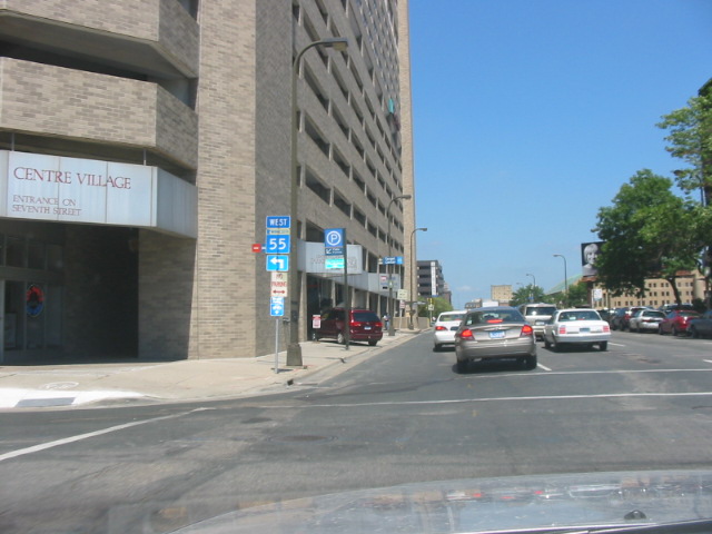
| About a block further up, at the corner of 8th St and 5th Ave, is a trailblazer shield for westbound MN 55, which used to run along 7th St through downtown. Photo by Glenn Olson, taken in July, 2005. |
|
|
In 1978, with ongoing construction and completion of I-35W, US 8 was truncated from downtown Minneapolis to this point, the I-35W/New Brighton Blvd interchange, though sources are unclear as to whether US 8 actually terminated here or terminated at the E. Broadway/New Brighton Blvd intersection 1/4 mile behind this location. Either way, this terminus was short-lived, as in 1981, it was truncated yet again to its current terminus in Forest Lake. It is now part of Hennepin CSAH 88. |
|
|
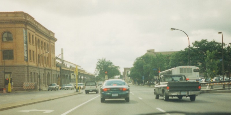
Eastbound along Washington Ave at 3rd Ave in downtown Minneapolis. US 8 began here from 1931 to ca. 1978, following 3rd Ave to the left. US 65 terminated here as well, following 3rd Ave from the right until ca. 1980. Today, only MN 65 touches this intersection, and is now gapped from here south through downtown. Photo by Adam Froehlig. |
|
|
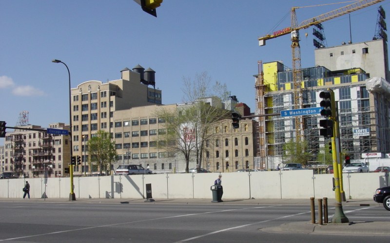
Standing on the corner of Chicago Ave and Washington Ave, looking north at new condominium units being built in what used to be an industrial and flour milling area. For many years, a railroad line used to bridge over this intersection, until being removed in the 1980s. Photo by Adam Froehlig, taken April 28, 2003. |
|
|
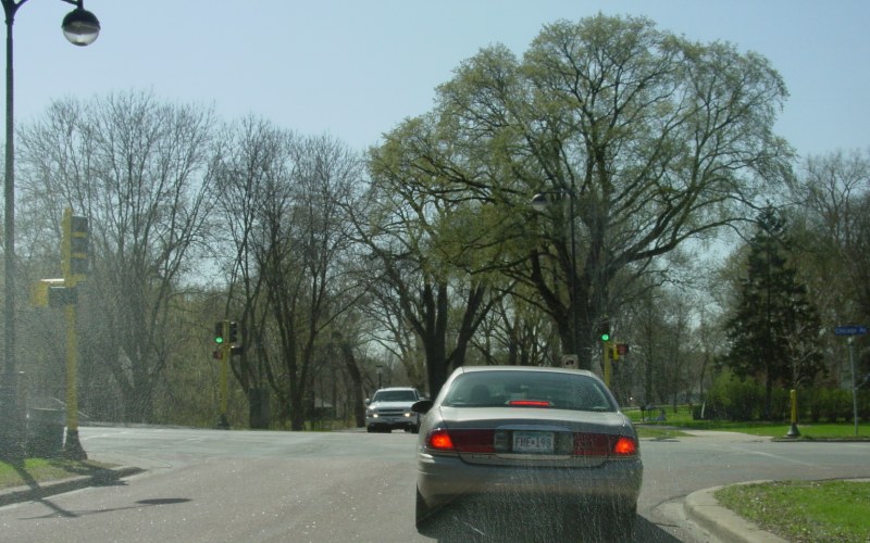
Westbound Minnehaha Pkwy at Chicago Ave, in south Minneapolis. Minnehaha Pkwy is a popular segment of the "Chain of Lakes". Photo by Adam Froehlig, taken April 22, 2003. |
|
|
Just east of the above photo is a view looking along eastbound Minnehaha Pkwy, with 11th Ave intersecting to the left. Photo by Adam Froehlig, taken April 24, 2003. |
|
|
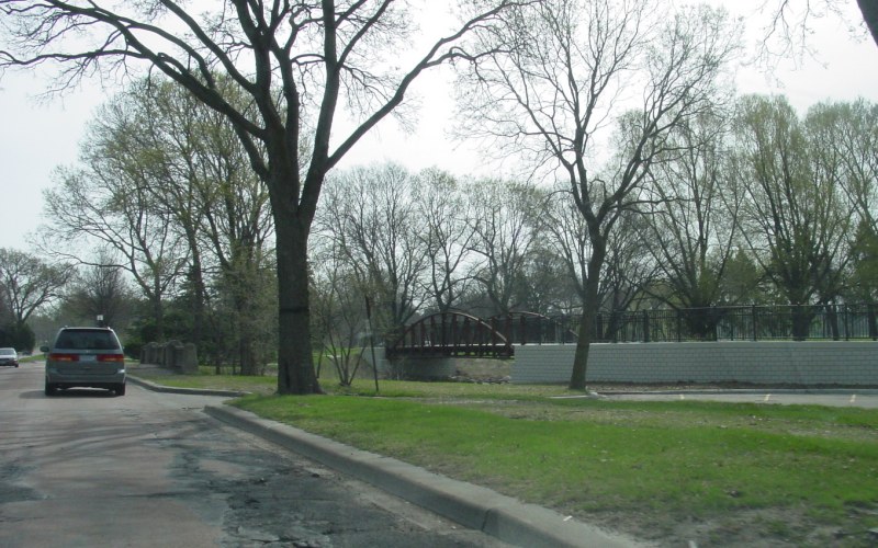
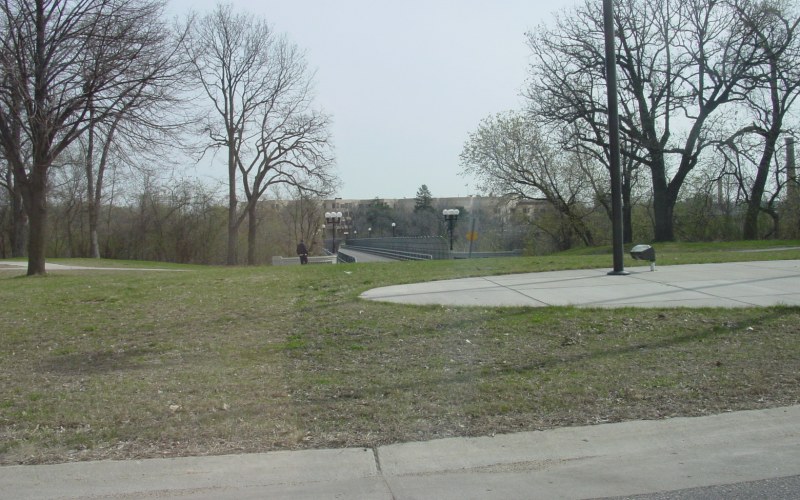
Further east, between Lake Nokomis and Lake Hiawatha, a new bike path bridge was built over Minnehaha Creek. Previously, the bike path used the right edge of the road bridge over the creek (just to the right of the car on the left). Photo by Adam Froehlig, taken April 24, 2003. |
|
|
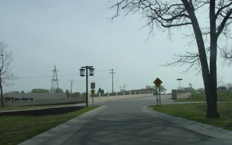
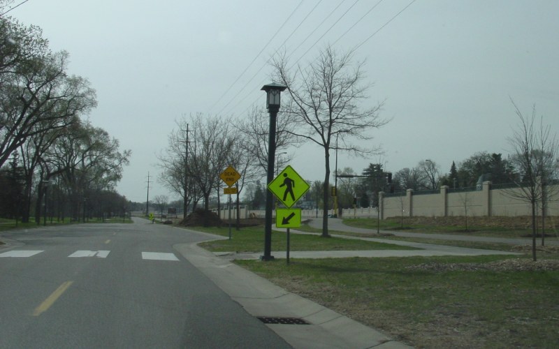
Near 39th Ave, Minnehaha Pkwy goes from a wide divided boulevard back to a 2-lane street, crossing first over Minnehaha Creek then on a land bridge over MN 55 and the Hiawatha LRT line. Photo by Adam Froehlig, taken April 24, 2003. |
|
|
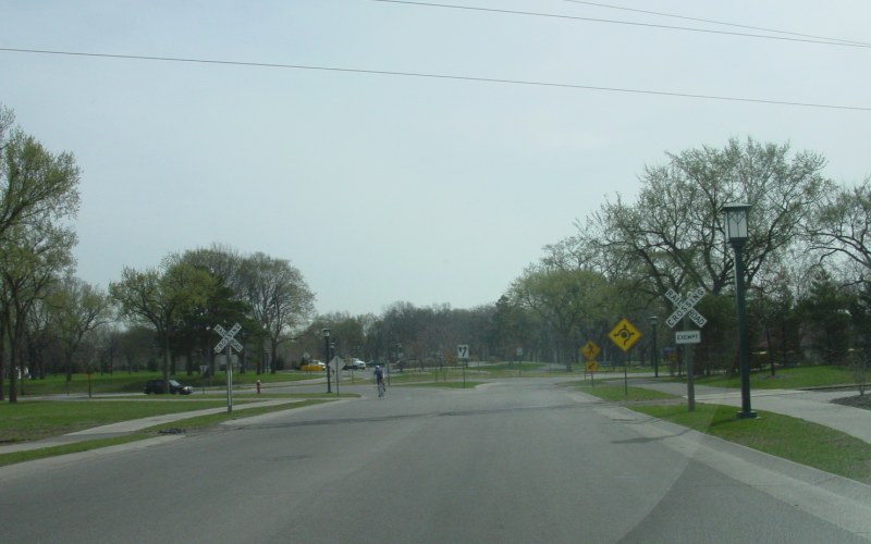
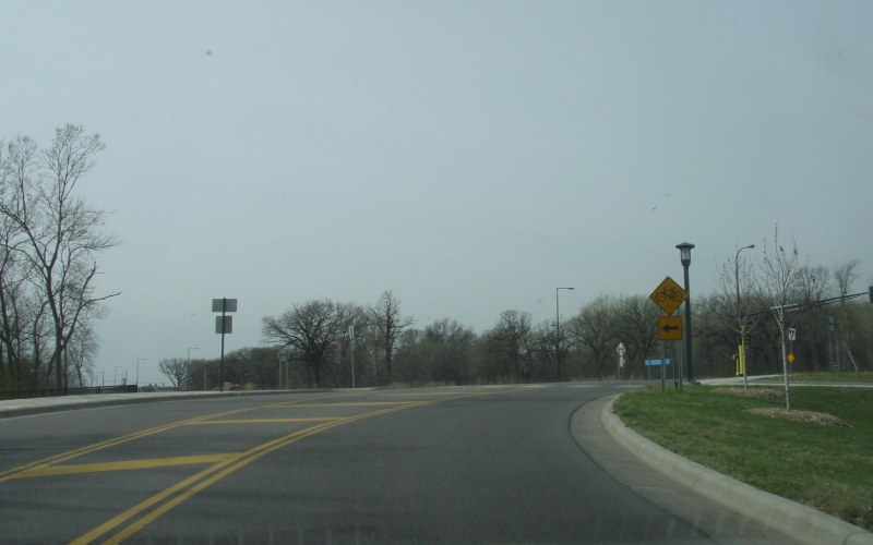
Just east of the land bridge over MN 55 is first a railroad crossing over an old C&NW line (now the end of a Minnesota Commercial RR spur), followed by one of the first roundabouts built in Minneapolis, at Minnehaha Ave. Photo by Adam Froehlig, taken April 24, 2003. |
|
|
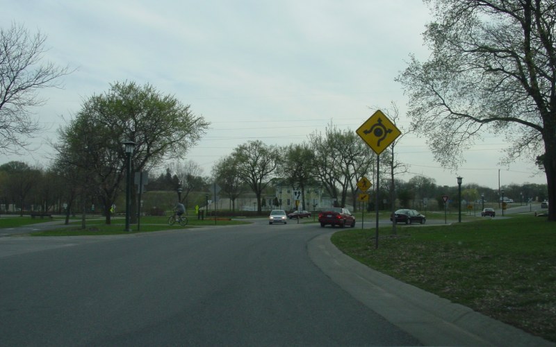
This is looking westbound at the roundabout mentioned above. The historic Longfellow House is in the background. Photo by Adam Froehlig, taken April 24, 2003. |
|
|
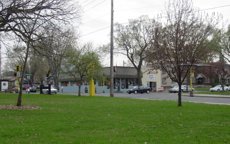
Along westbound Minnehaha Pkwy, looking southward at the wide boulevard section and the intersection of the eastbound parkway and 28th Ave. The bakery on the corner was a favorite stop during my childhood. Photo by Adam Froehlig, taken April 24, 2003. |
|
|
Southbound on Minnehaha Ave along the west edge of Minnehaha Park. The "Dead End" sign notes how much of the street is closed through the park during nighttime hours. Just to the right, behind the sound walls, is the MN 55 (Hiawatha Ave)/50th St intersection. Photo by Adam Froehlig, taken April 24, 2003. |
|
|
Looking east from Minnehaha Ave at an old bridge over the Minnehaha Creek gorge, across to the Minnesota Veterans Home. Photo by Adam Froehlig, taken April 24, 2003. |
|
|
Near the south end of the Minnehaha Ave segment through Minnehaha Park. To the left is the north end of the bike trail through Fort Snelling State Park, while to the right is the relocated-MN 55/54th St intersection. Photo by Adam Froehlig, taken April 24, 2003. |
|
|
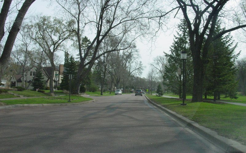
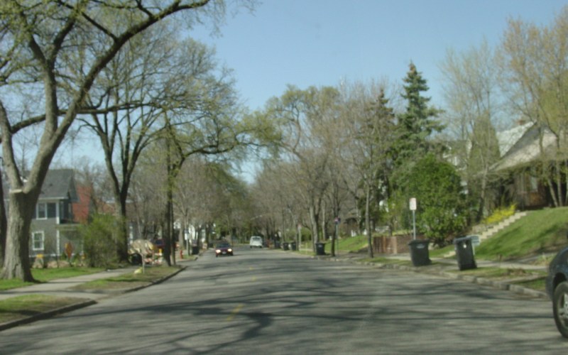
Northbound Sheridan Ave in the Lindon Hills neighborhood. Photo by Adam Froehlig, taken April 22, 2003. |
|
|
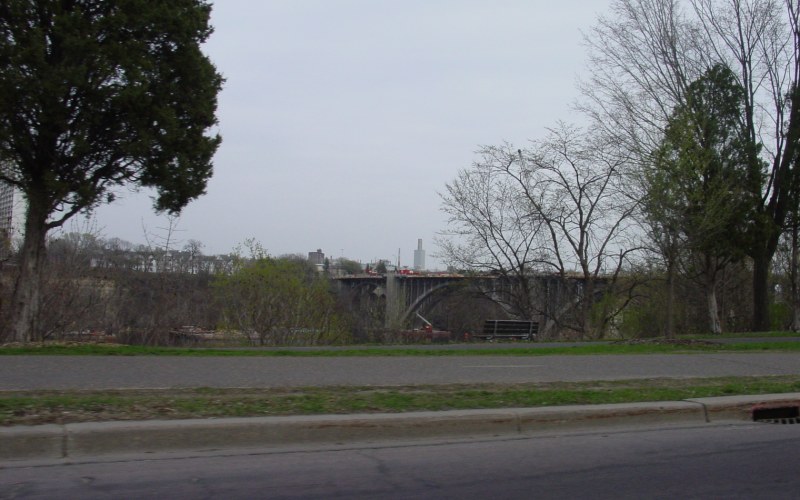
Along West River Pkwy, looking at rehab work on the Ford Bridge. Photo by Adam Froehlig, taken April 24, 2003. |
|
|
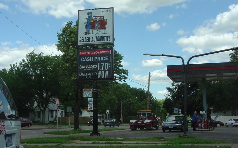
High gas prices prompted this joke at 46th St and Minnehaha Ave. As of May, 2009, the "WOW" was still there. Photo by Adam Froehlig, taken June 21, 2004. |
Back to Minnesota Photography
Back to Highway Photography
![]()
Page last modified 20 May, 2009
(C) 2009-2002, Adam Froehlig