|
Duplex Location |
Length (mi) |
Signed directions |
Existed |
| Mankato |
2.0 |
US 14 E-W |
ca. 1978-1999 |
|
Duplex Location |
Length (mi) |
Signed directions |
Existed |
| Mankato |
2.0 |
US 14 E-W |
ca. 1978-1999 |
Photographs
|
|
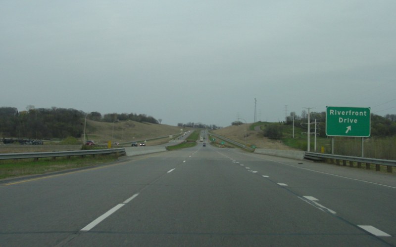
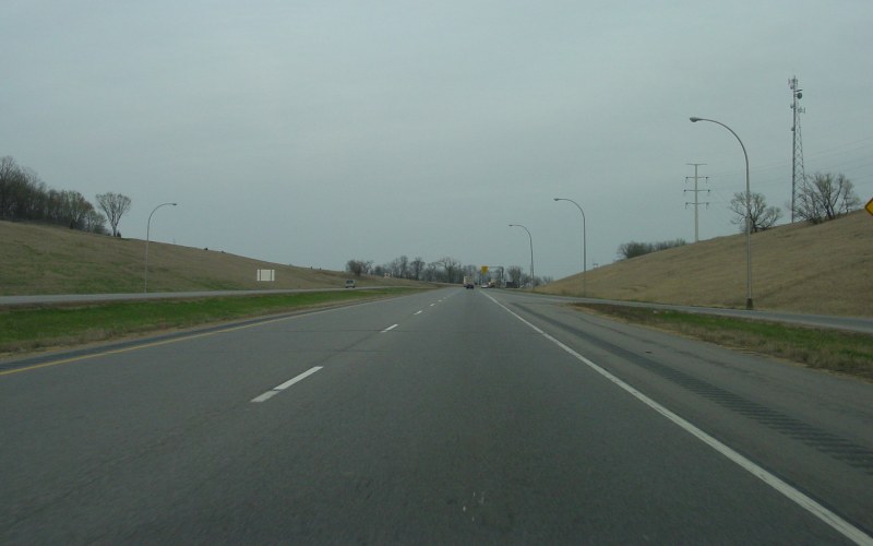
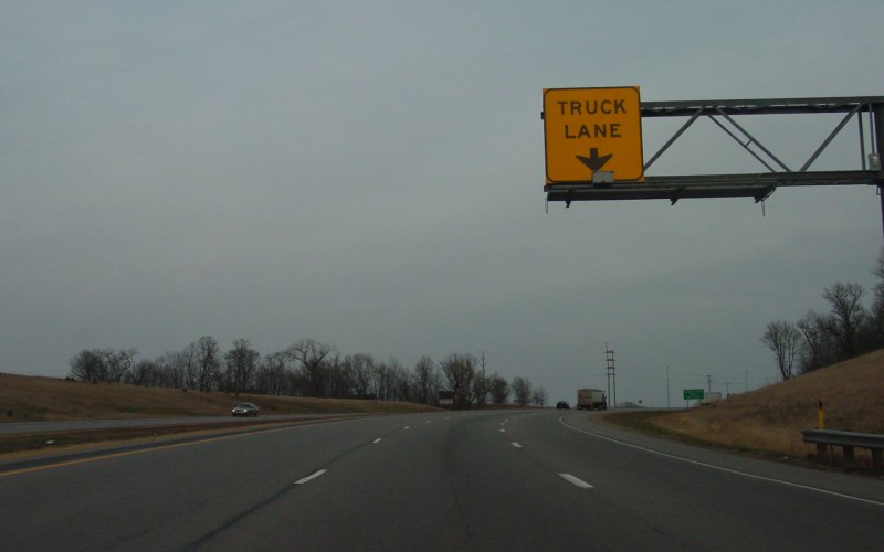
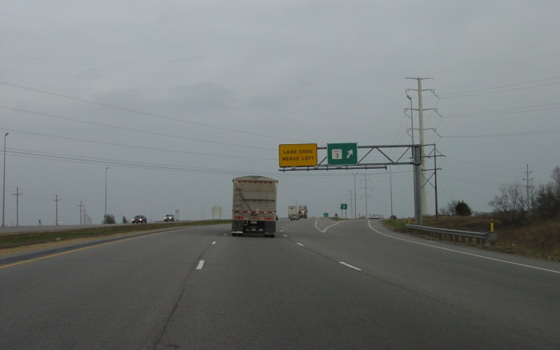
From the opening of the Mankato bypass until around 1999, MN 22 joined US 14 and MN 60 on the bypass, from today's Riverfront Dr interchange to the current US 14/MN 22 interchange, then south on today's MN 22 to the MN 22/Blue Earth CSAH 17 intersection. These photos show eastbound US 14/MN 60 from the Riverfront Dr interchange to Blue Earth CSAH 3 (added in 2001 after MN 22 was relocated). Photos by Adam Froehlig, taken April 23, 2003. |
Back to Minnesota Multiplexes
Back to Highway Photography
Last Updated: May 17, 2008
(C) 2007, Adam Froehlig