
St. Paul Street and Road Scenes
These photographs document various scenes around the city of St. Paul, for routes that don't have their own dedicated pages. They are organized first by route type, then by route number.
|
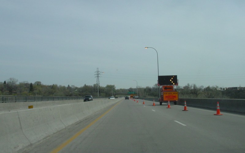
| Lane closure on eastbound MN 5 over the Mississippi River. Photo by Adam Froehlig, taken April 24, 2003. |
|
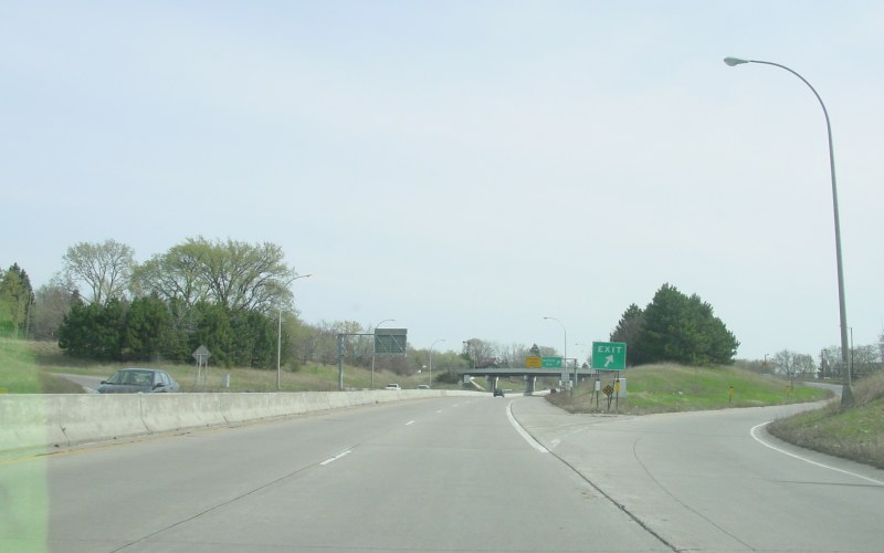
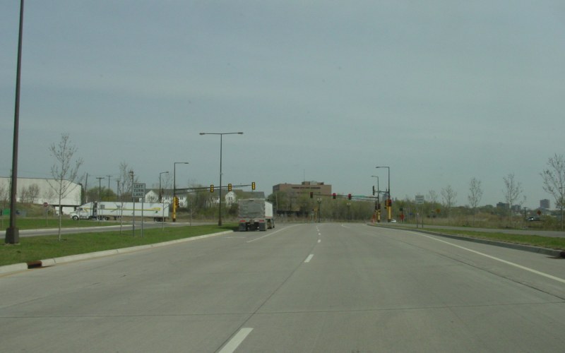
| Just east of the Mississippi River bridge on eastbound MN 5 is the exit ramp to Shepard Rd and Edgcumbe Rd. In the background is the exit ramp to Norfolk Ave, and just beyond that is the end of the freeway spur where MN 5 transitions to West 7th St. Photo by Adam Froehlig, taken April 24, 2003. |
|
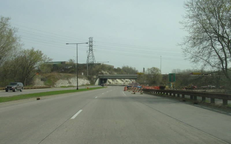
| Eastbound Shepard Rd in St. Paul, with I-35E crossing in the background. Replacement of the I-35E "Lexington Bridge" over the Mississippi River was underway at the time, hence the closed on-ramp to I-35E South. Photo by Adam Froehlig, taken April 24, 2003. |
|
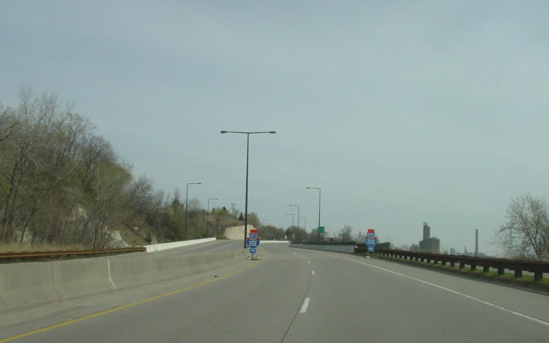
| At the time, Shepard Rd traffic was directed to use the upcoming Otto Ave to eventually access I-35E SOUTH. Photo by Adam Froehlig, taken April 24, 2003. |
|
| Eastbound Shepard Rd at Randolph Ave. Until being relocated in the early 2000s, Shepard Rd turned right here and there was no road straight ahead. Photo by Adam Froehlig, taken April 24, 2003. |
|
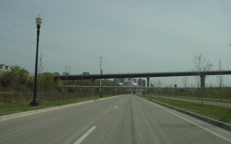
| Eastbound along the relocated Shepard Rd, with the MN 149 "High Bridge" looming. Photo by Adam Froehlig, taken April 24, 2003. |
|
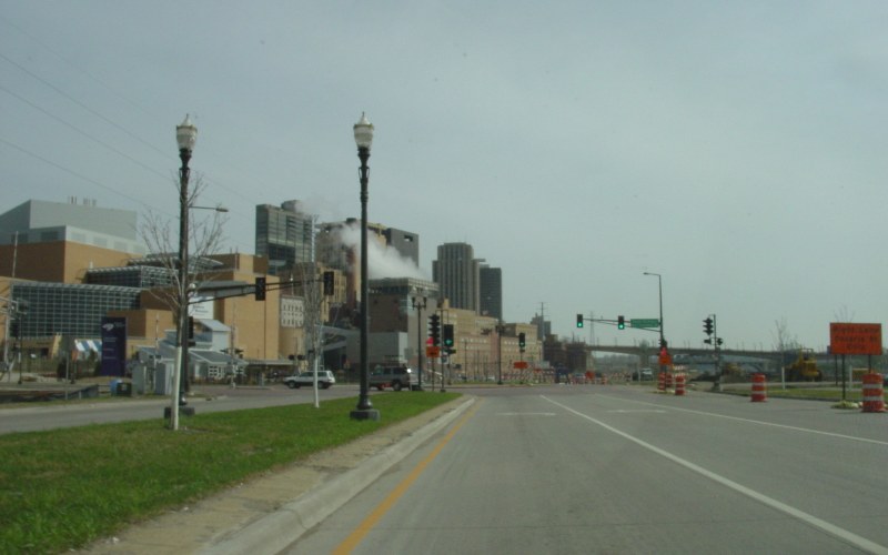
| Eastbound Shepard Rd at Eagle Pkwy (formerly Chestnut St) on the edge of downtown St. Paul. The Science Museum of Minnesota is on the left. Shepard Rd was being reconstructed just ahead at the time, requiring a detour. Photo by Adam Froehlig, taken April 24, 2003. |
|
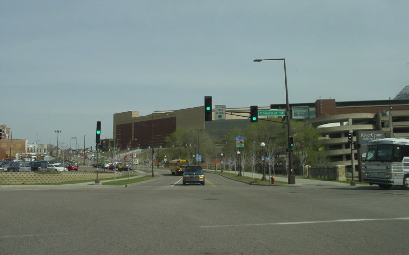
| Northbound Eagle Blvd at Chestnut St. Eagle Blvd was created and this part of Chestnut St was realigned when the RiverCentre Parking Ramp (right side of the photo) and the new Science Museum building (just off the right edge of the photo) were built. Photo by Adam Froehlig, taken April 24, 2003. |
|
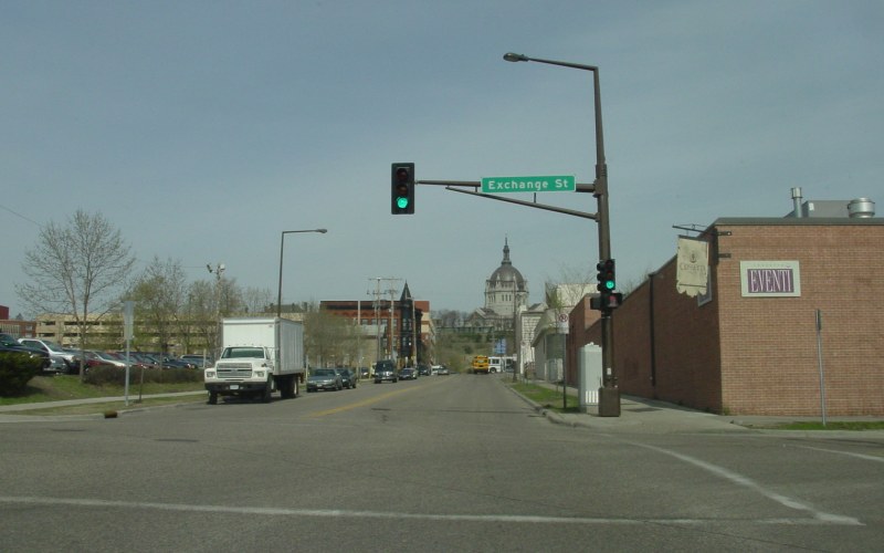
| Northbound Chestnut St at Exchange St, with the St. Paul Cathedral in the background. Photo by Adam Froehlig, taken April 24, 2003. |
|
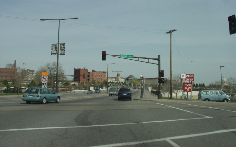
| Westbound Kellogg Blvd at Smith Ave. The I-35W SOUTH ramps are just ahead, with the Minnesota History Center in the background. Photo by Adam Froehlig, taken April 24, 2003. |
|
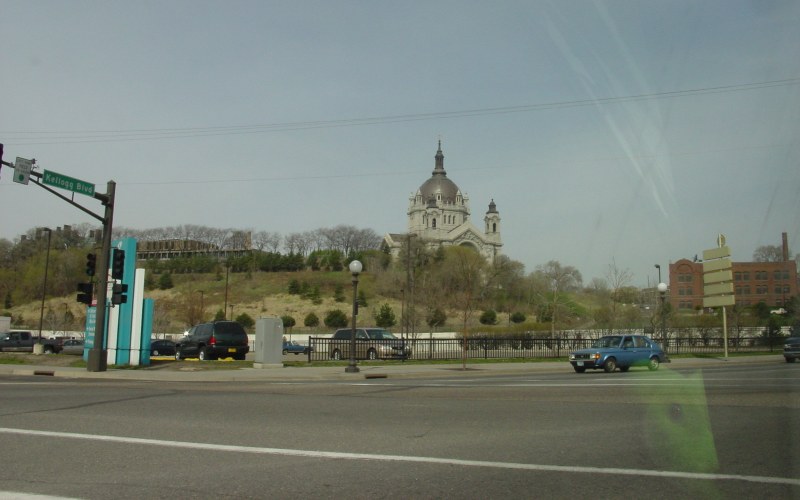
| Another view of the Kellogg Blvd/Smith Ave intersection, looking up at the St. Paul Cathedral. Photo by Adam Froehlig, taken April 24, 2003. |
|
| Waiting at the light at the end of the offramp from eastbound I-94 to Marion St and Kellogg Blvd, on the west edge of downtown St. Paul. Photo by Adam Froehlig, taken June 21, 2004. |
Back to Minnesota Photography
Back to Highway Photography
![]()
Page last modified 20 May, 2009
(C) 2009-2008, Adam Froehlig