Utah Highway Scenes
These photos show various locations in Utah. All photos were taken by the webmaster.
|
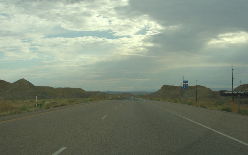
| Westbound I-70 shield, just west of Crescent Junction. Though not signed here, US 6, US 50, and US 191 are multiplexed with I-70. Photo taken August 1, 2005. |
|
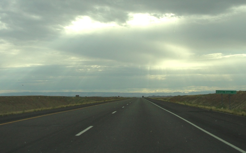
| 13 miles to Green River, along westbound I-70 (multiplexed with US 6, US 50, and US 191). Photo taken August 1, 2005. |
|
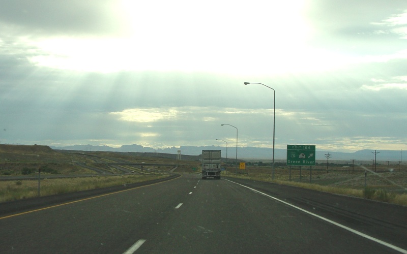
| The main westbound I-70 exit to Green River, which also has the only traveler services between Crescent Junction and Salina. Photo taken August 1, 2005. |
|
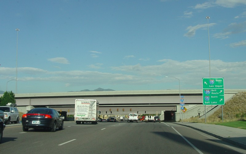
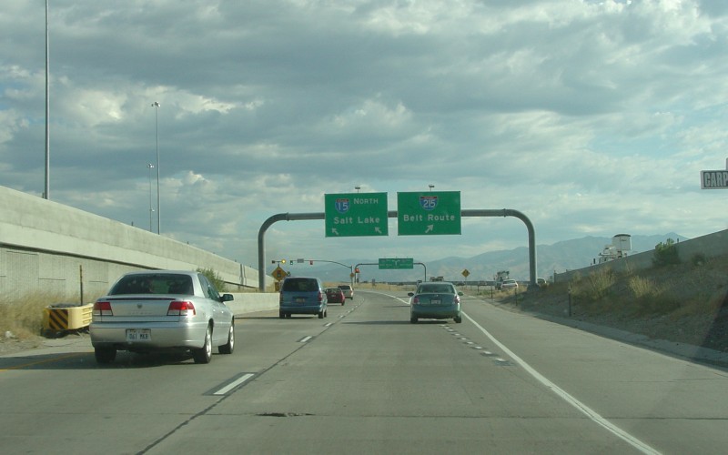
| 7200 S in Midvale, shown on some maps as UT 48. This is looking westbound at the I-15 junction, a SPUI with additional ramps to/from I-215 (which is just to the north). Photo taken August 2, 2005. |
|
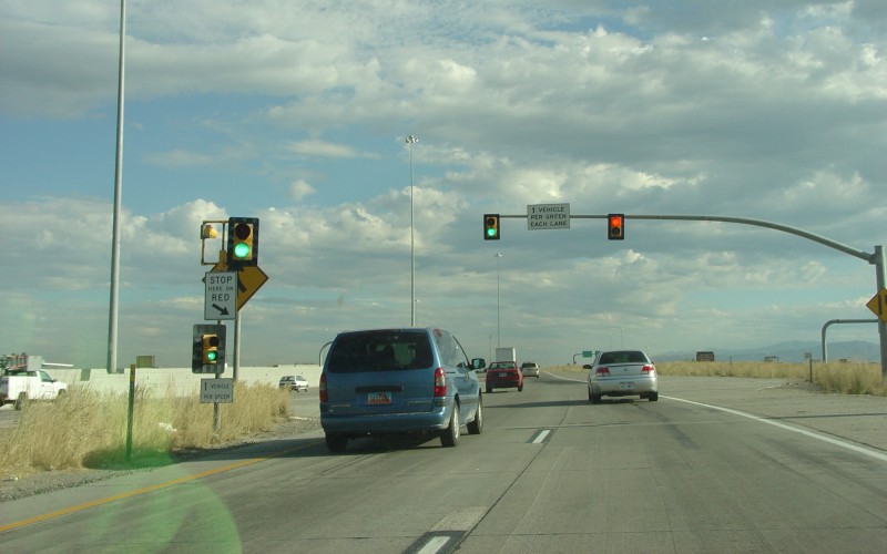
| The on-ramp from UT 48 (7200 S) to northbound I-15 and I-215. Note how the ramp splits to the two Interstates. The signals on the I-15 ramp are ramp meters. Photo taken August 2, 2005. |
|
| A closer view of the ramp meter. Similar to the ramp meters in Los Angeles, but unlike the ramp meters in my hometown (Minneapolis, MN), these ones are simple red-green instead of red-yellow-green. Photo taken August 2, 2005. |
|
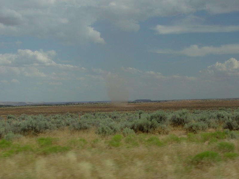
| We spotted this dust devil in a nearby field along UT 262. Photo taken August 1, 2005. |
|
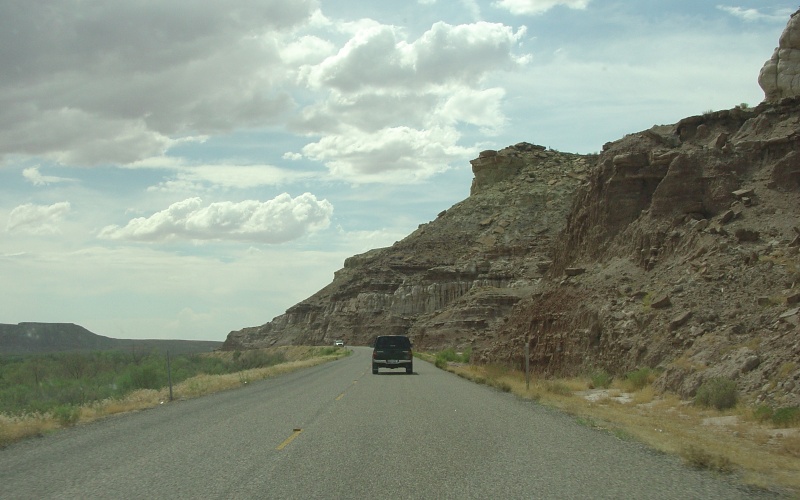
| Two random views from along UT 262, after we saw the dust devil. Photos taken August 1, 2005. |
|
| UT 262's western terminus, at US 191 south of Blanding. Photos taken August 1, 2005. |
Back to Highway Photography
![]()
Page last modified 20 March, 2009
(C) 2009-2006 Adam Froehlig