
Interstate 64 in West Virginia
These photos are from along eastbound I-64, between I-77 near Beckley and WV 311 just west of the Virginia line. All photos were taken by the webmaster on May 6, 2003.
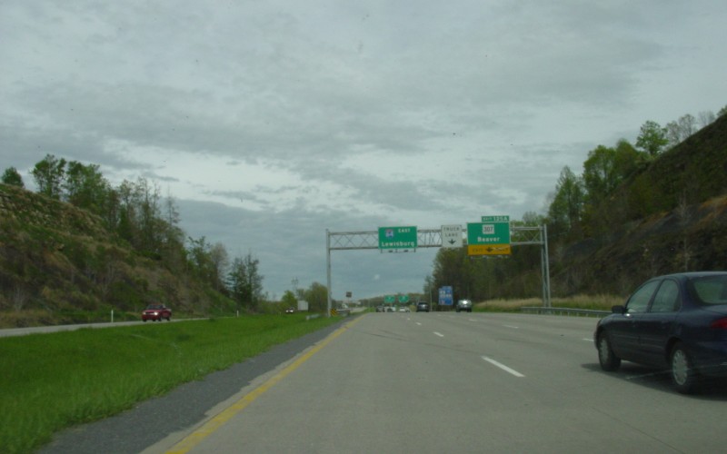
| Still climbing a long multi-mile grade east of the I-64/I-77 junction, while approaching the exit for WV 307. |
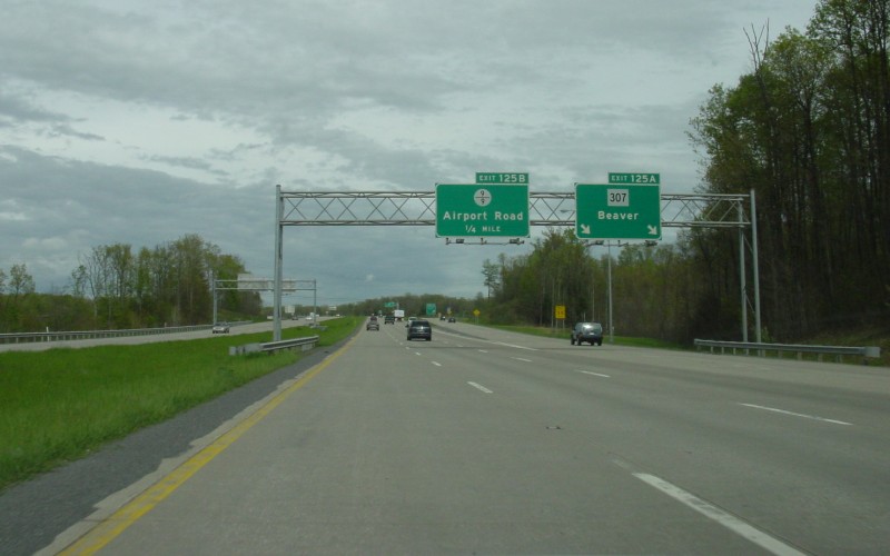
| The rightmost lane splits off into a two-lane ramp at the WV 307 exit. The next exit is an example of the fractional county routes common in West Virginia. |
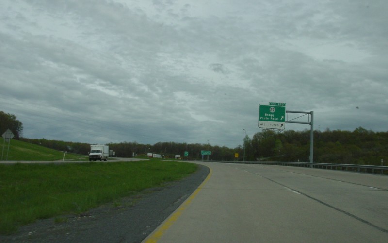
| A few miles further down the road is the CR 27 exit, which also has a truck station due to an upcoming long downgrade. |
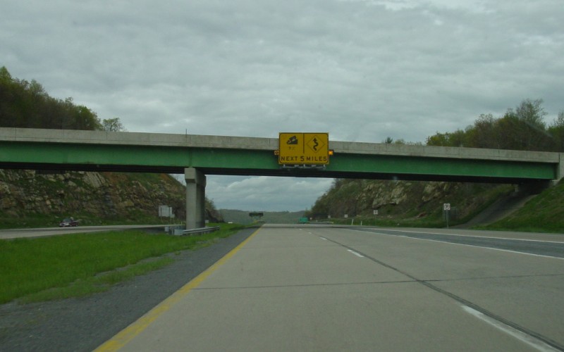
| A large overhead warning sign warning of a winding road and a 5-mile long 7% downgrade, just a little east of Exit 133. |
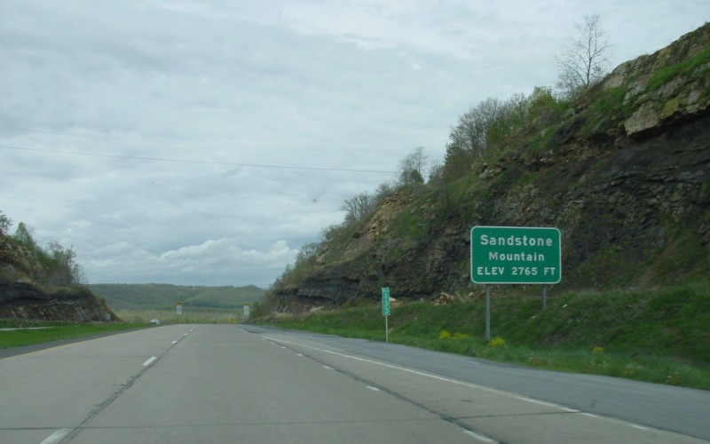
| Just past the above warning sign is this sign for Sandstone Mountain. |
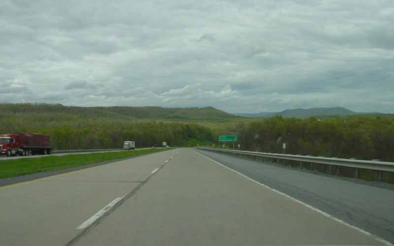
| Two more downgrade photos from somewhere between Sandstone and the Virginia line. I'm not sure exactly where I was in either. |
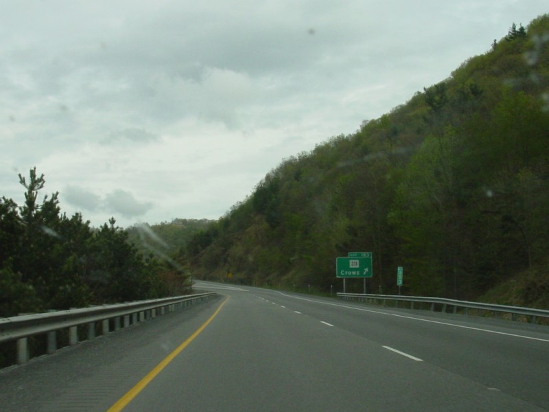
| I-64's last exit in West Virginia is a half-interchange to WV 311, which turns back and forth a couple times between WV 311 and VA 311 just to the south. Just east of the exit is the Virginia line. |
Back to West Virginia
Photography
Back to Highway Photography
![]()
Page last modified 20 March, 2007
(C) 2007 Adam Froehlig