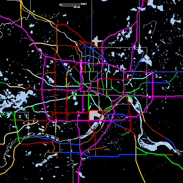
This is a map I've created showing what the Twin Cities freeway/expressway system might have looked like had the cancelled routes been built. This is based mostly on old planning maps, but some of it is conjecture (the maps unfortunately didn't cover everything).
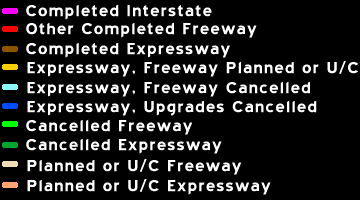
Legend
System Map
Links:
Last Updated on 11/3/00...