


May 4, 2003, Kansas City area
The photos on this page are from my aborted attempt to follow the major Kansas City storm. A combination of leaving Minnesota late and poor communication (all I had was my cell phone) prevented me from getting in on the major chase. That said, the following photos are presentable enough to display, and show some storm structure, as well as damage in Liberty.
NOAA has a webpage on the storms of the day here. The Kansas City NWS office has a page here.
|
|
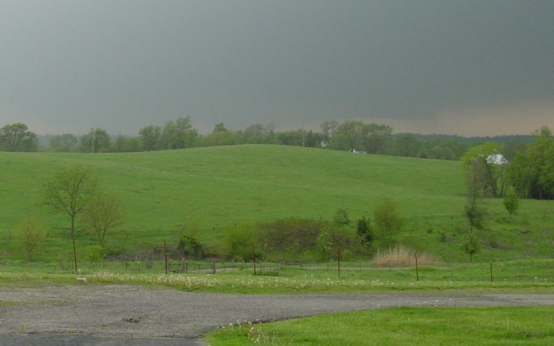
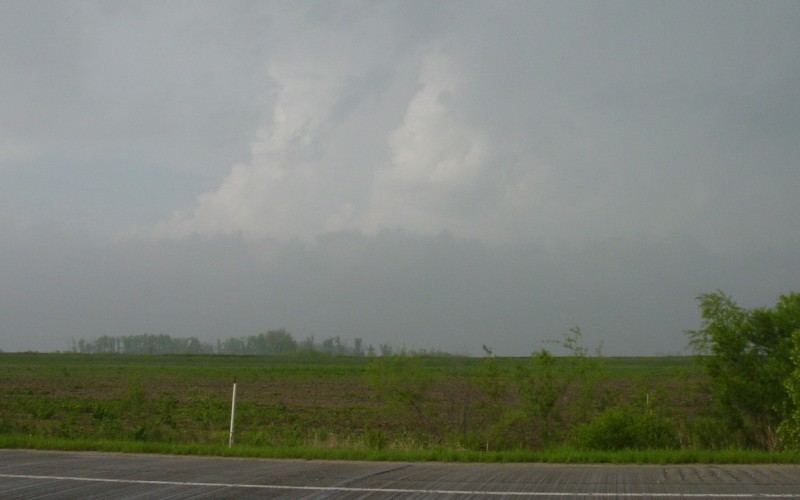
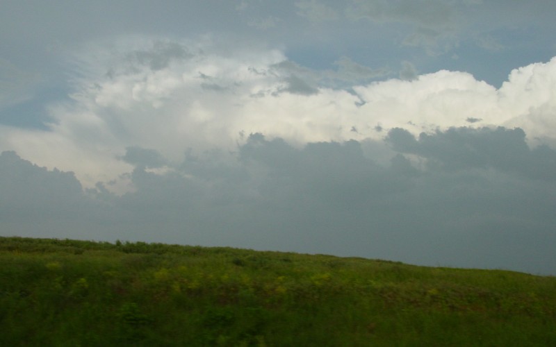
This is a distance view of the Platte City storm as viewed from MO Hwy 92, just west of Route "B", about 6 miles east of Platte City. It's hard to see, but there is some lowering visible behind the hill. |
|
|
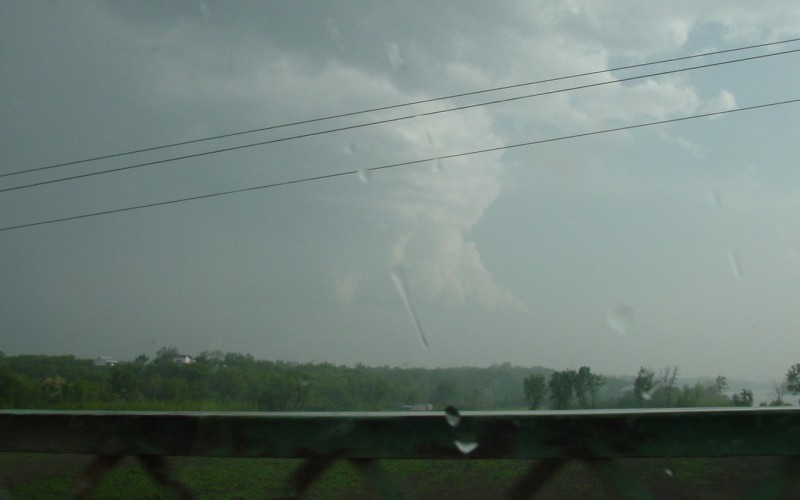
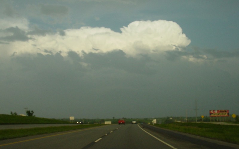
Impressive storm structure, plus a rainbow, as viewed from US 169 near Cookingham Dr, in northern Kansas City. At the time these photos were taken, the tornado was in eastern Gladstone, about 6 miles to my southeast. |
|
|
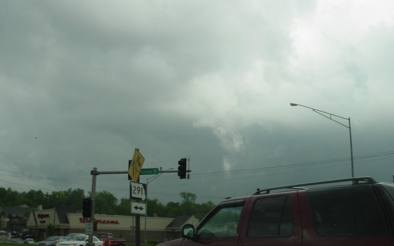
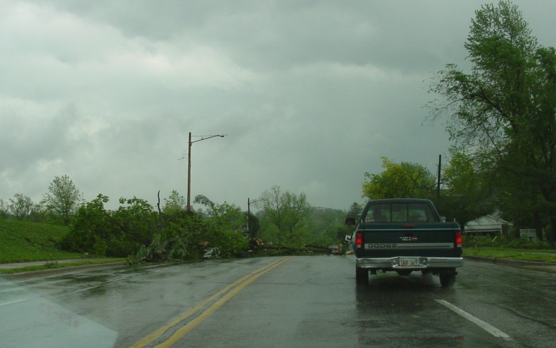
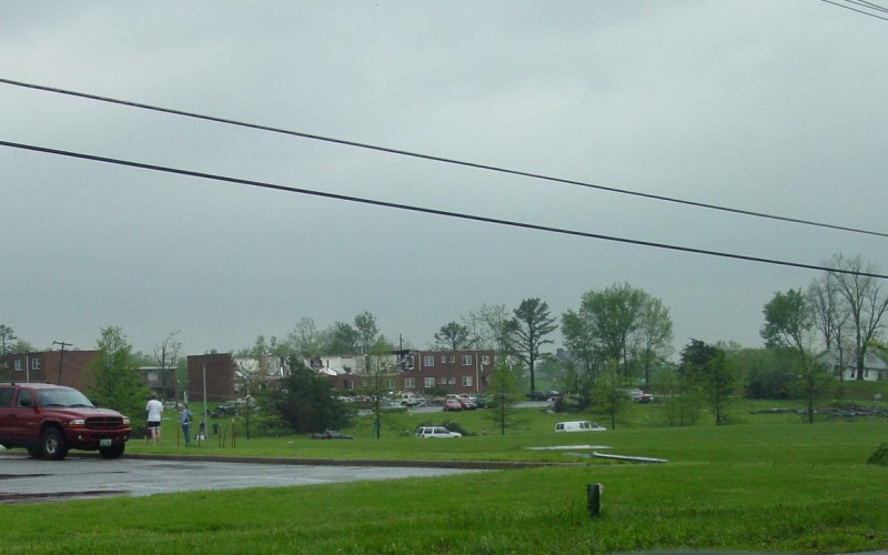
These three photos were taken in Liberty, roughly 30 minutes after the tornado passed through. The top photo is at the MO 152/MO 291 junction, just south of which is where the tornado touched down 27 minutes prior. The middle photo is tree damage in central Liberty. Not pictured here is a powerline across the roadway just behind me. The bottom photo is damage to an apartment comples in easterly Liberty, off of Route "H" and about 35 minutes after the tornado passed. Route "H" was blocked just east of here, which prevented me from catching up further to it. |
|
|
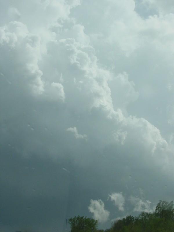
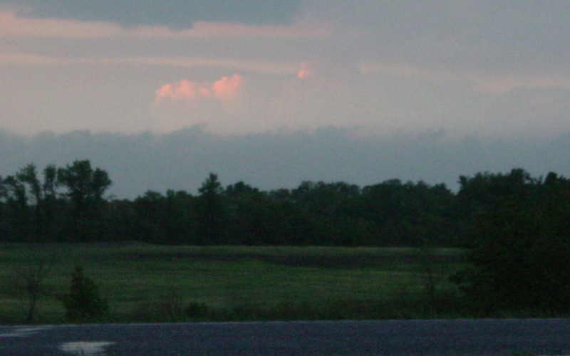
By the time I got to Richmond, MO, I was fighting a losing battle...having not run across any other chasers, plus the storms moving fast away and the increasing lack of cell phone coverage were both becoming frustrating. At this point, I cut my losses and started heading east, as I had to be back in Norfolk in 2.5 days. The two photos here are CB cloud photos, as seen from MO Hwy 13 near and just north of the Missouri River. The upper photo is looking east-northeast at a storm that had passed through Richmond. The bottom photo is looking southwest from the Missouri River bridge, towards a storm southwest of Lexington. |
|
|
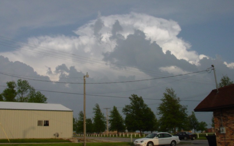
Looking east and southeast at some decent storm structure, as I passed through and south of Higginsville on MO Hwy 13. |
|
|
These four CB cloud photos were taken as I headed east on I-70. The top one was a cell about 20 miles in front of me as I passed through eastern Lafayette County. The other three photos were taken while I was in southern Saline County. |
Back to Weather Pictures
![]()
Page last modified 10 February, 2004