I-85 Greensboro, NC Loop
This is the first of three photo pages detailing the relatively new I-85 loop around Greensboro, NC. Prior to the loop opening, I-85 traveled through Greensboro itself on a congested and sometimes dangerous corridor. The loop was built in part to alleviate the traffic situation through Greensboro by routing I-85 through traffic out of the city. After a few years of construction, the loop opened on February 21, 2004. I was there the following morning to test-drive the loop and take these photos.
All photos were taken by the webmaster (Adam Froehlig) on February 22, 2004.
Southbound Photos
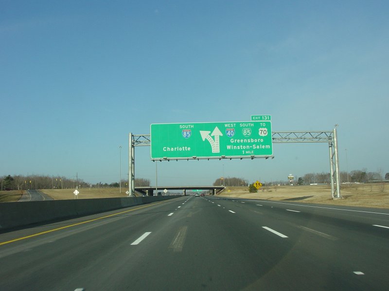
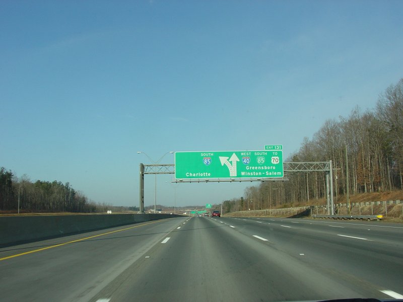
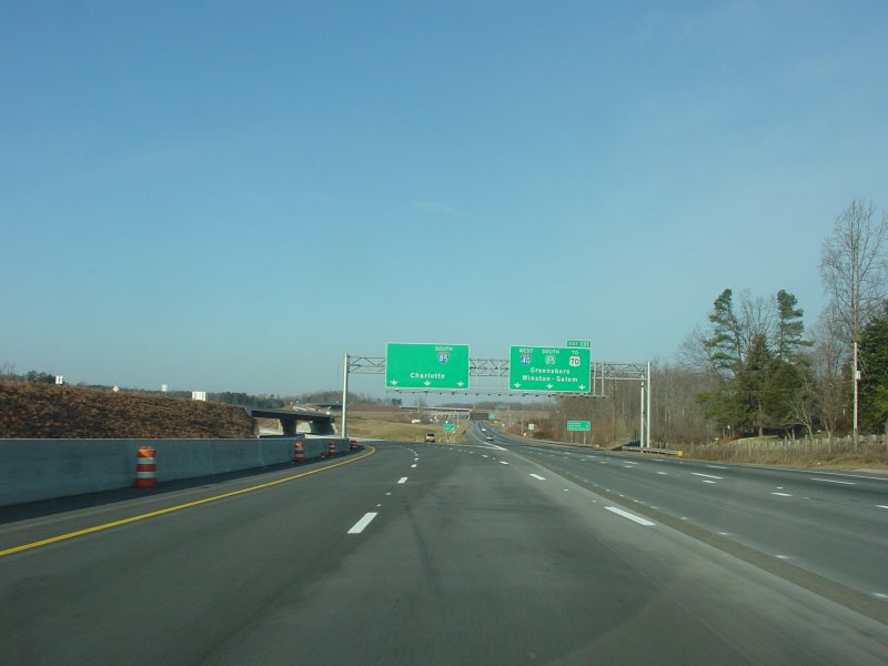
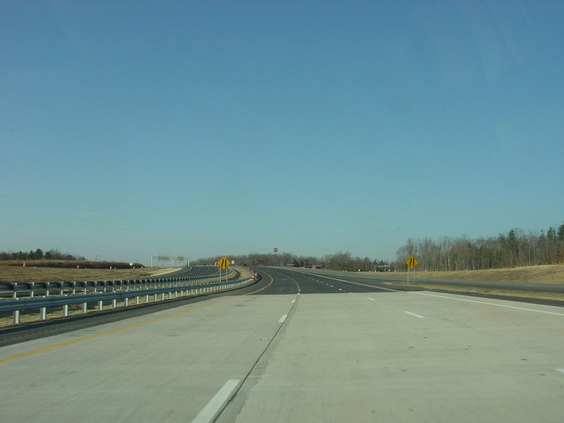
| These two photos are on westbound I-40/85 approaching the split and the southbound beginning of the loop. |
| At the split. The reason for the empty space in the guide signage is because I-40 will also eventually follow the loop around Greensboro, upon completion of the southwest part of the loop. |
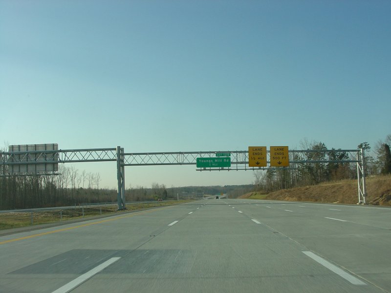
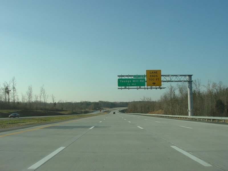
| A progression of overhead signs approaching the Youngs Mill Rd interchange. |
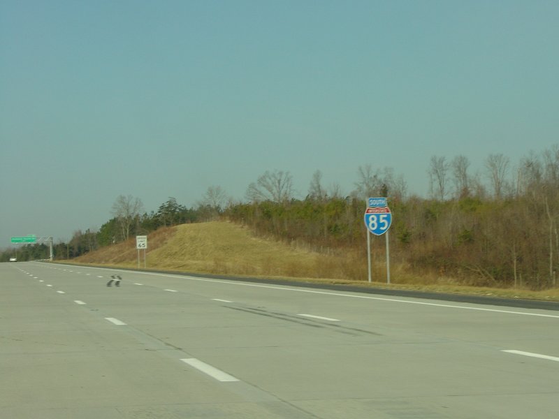
| NCDOT used oversized reassurance shields, such as this I-85 shield, along the loop. Speed limit along the loop is 65 MPH. |
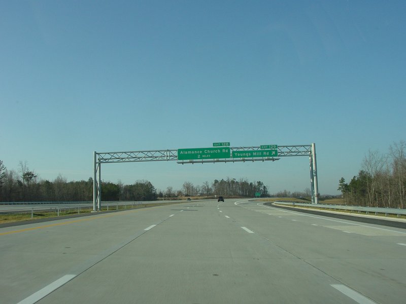
| Exit signage at Alamance Church Rd. |
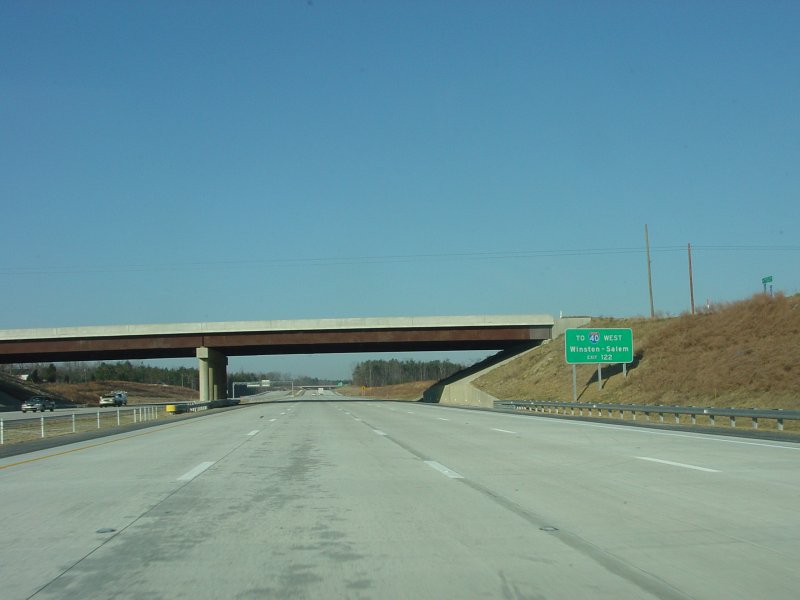
| The gap in the distance signage is probably for the addition of I-40 mileage to Winston-Salem, once I-40 is added to the loop. |
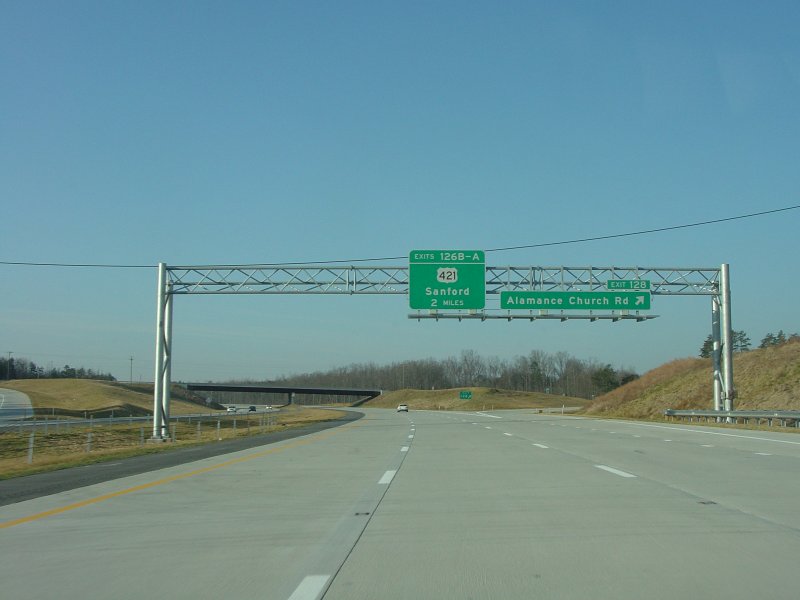
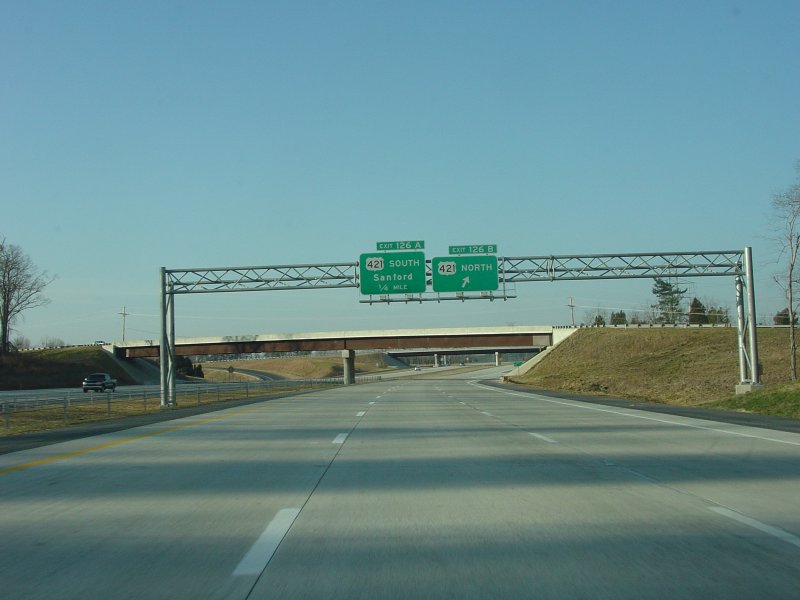
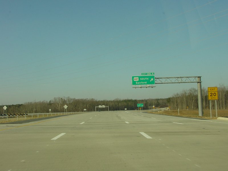
| Passing through the US 421 and Eugene St interchange and approaching the interchange with US 220. For the time being, traffic wanting I-40 West is directed to follow US 220. |
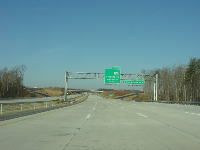
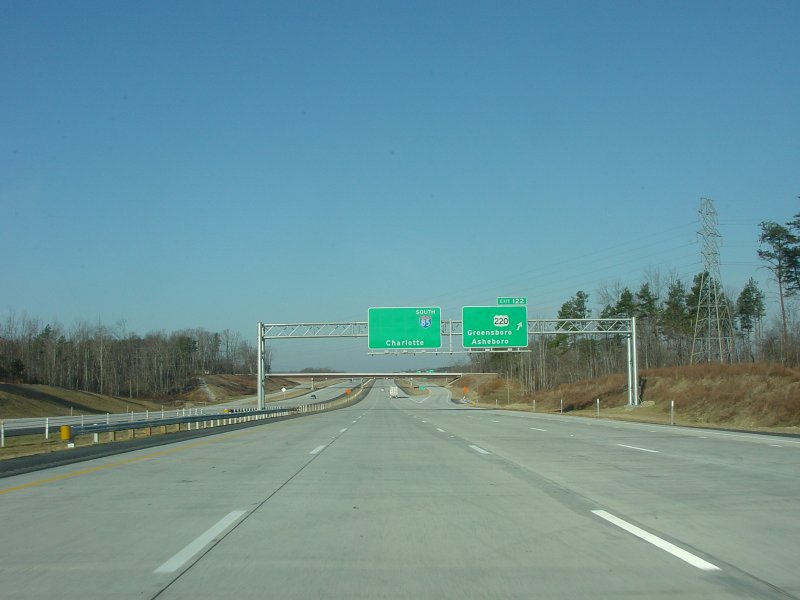
| Exit signage at US 220. The gap in the US 220 guide sign is for future I-73, while the gap in the I-85 guide sign is for both I-73 and I-40. |
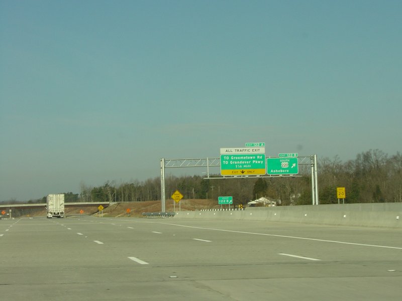
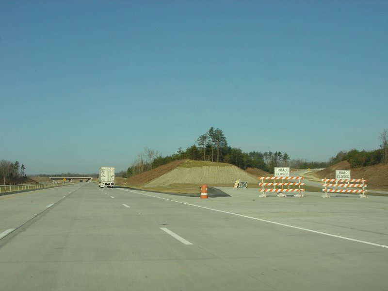
| Looking across at guide signage on the southbound C/D road. The "ALL TRAFFIC EXIT" is a temporary situation until the southwest part of the loop is completed. |
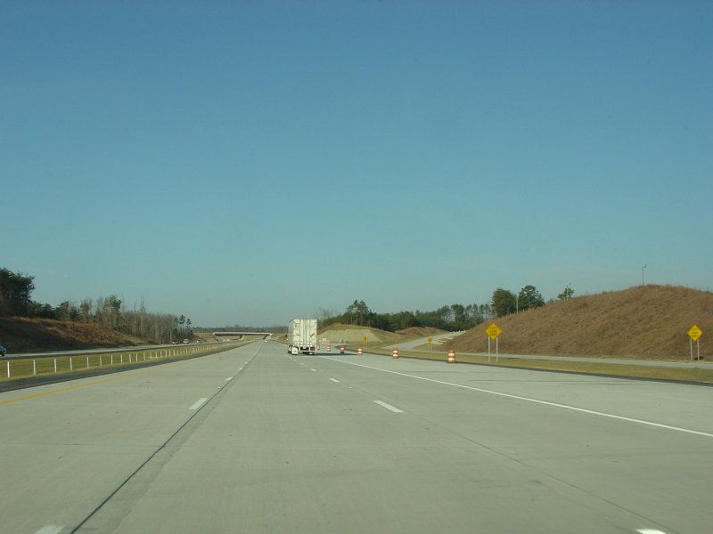
| This is where westbound I-40 will eventually split from southbound I-85 once the southwest loop is finished. Northbound I-73 will not join southbound I-85 directly, but will instead join westbound I-40 via the C/D road on the right. |
| This is where southbound I-85 rejoins the old I-85 (and now Green/Business I-85) lanes south of Greensboro. |
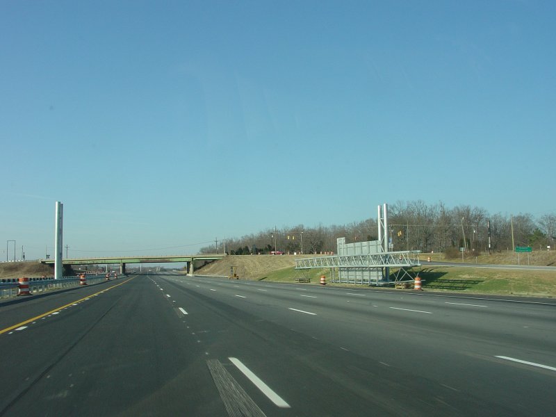
| An at-the-time-unfinished sign bridge at the Groometown Rd interchange. |
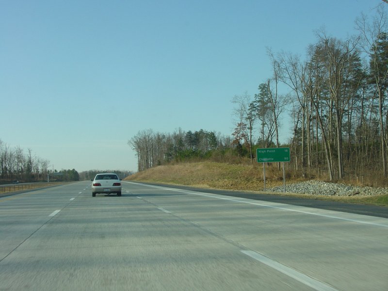
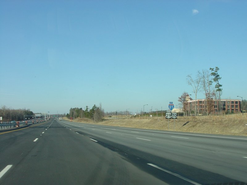
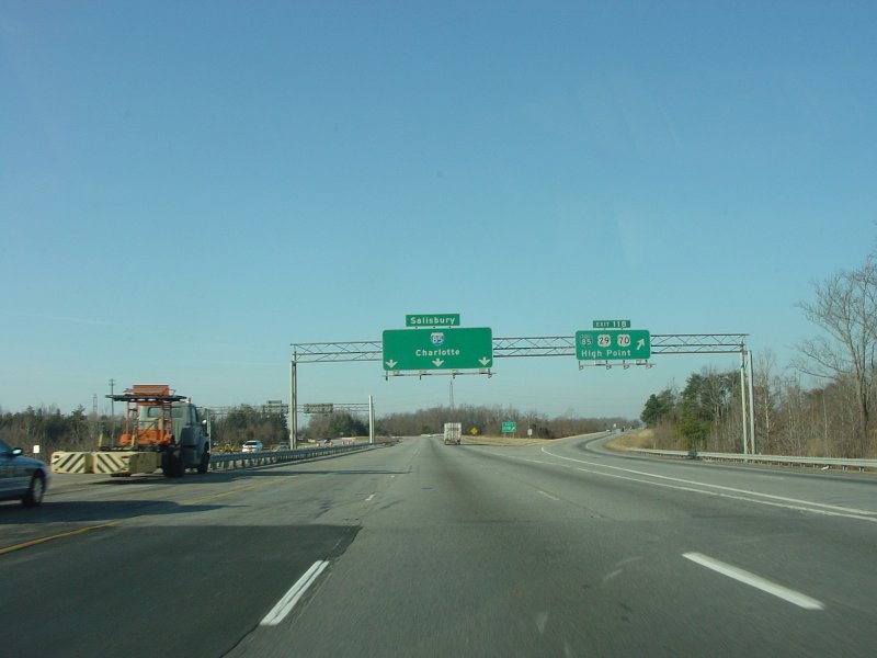
| More oversized reassurance shields. Also of note is how I-85 was widened to 10 lanes between the Greensboro loop and the north end of the High Point bypass. |
| The split to BUS I-85/US 29/US 70 into High Point. This also marks the south end of I-85 widening associated with the Greensboro loop. |
Northbound Photos
Side Route Photos
![]()
Page last modified 3 June, 2005
(C) 2005 Adam Froehlig