Hidden Mississippi Highway 992
|
Northern Terminus: |
At MS 43 northwest of Picayune, Pearl River County |
|
Southern Terminus: |
Just south of the Picayune north city limit along N. Beech St, Pearl River County |
|
Distance: |
1.35 miles |
|
Counties Served: |
Pearl River |
|
Cities/Towns Over 5,000 Population: |
Picayune |
Average Annual Daily Traffic Ranges (2004)
|
Pearl River County: |
4,600 (N of Hobolochitto Creek) |
Froggie's Notes:
- At first I thought this
route followed Memorial Blvd in Picayune between I-59 and US 11. However,
recent maps plus the 2004 route log place it along Beech Rd between MS 43
northwest of town and just south of the Picayune city limits along N. Beech St.
- The route is state-maintained and includes a bridge across Hobolochitto Creek
just north of its southern terminus.
Froggie Suggests:
- Decommission/turn it back to the city and county.
Photographs:
2004 Aerial Photos
All aerial photos are pulled from aerial imagery provided by the National Agriculture Imagery Program, via the Mississippi Automated Resource Information System.
|
|
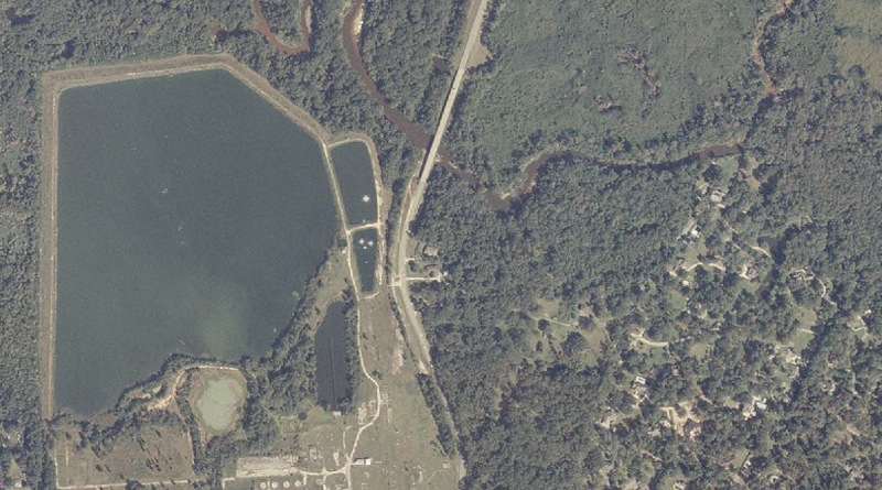
Approximate location of the southern terminus, just south of the bridge across Hobolochitto Creek. |
|
|
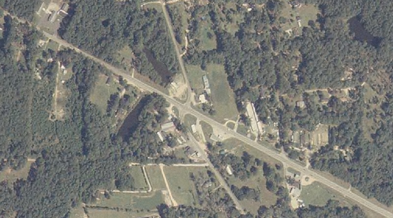
View of the northern terminus. MS 43 goes from the upper-left to lower-right corners, while MS 992 goes south from MS 43. |
Other Photos
No photographs available.
Back to Mississippi Highways
Back to Highway Pictures
Back to Highways Page
Back to Main Page
Last Updated: 19 January, 2006
(C) 2006, Adam Froehlig