Aerial photos - Wooded Areas
These aerial photographs are of areas near Russel-Topton Road, and the large wooded area between Russell-Topton Road and Lauderdale-Toomsuba Road.
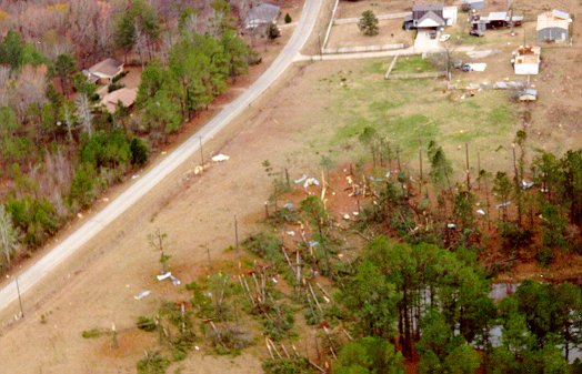
Downed trees. Notice the circular pattern to the trees, indicative of a tornado.
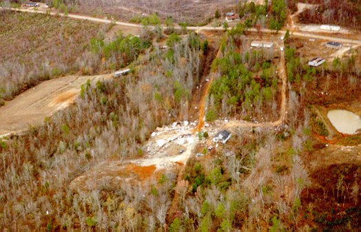
Hard to tell, but the damage path just missed the house in the center.
Looking south at downed trees just west of Russell-Topton Road.
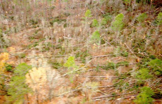
Hard to see, but the damage path goes left-to-right across the middle of this photo. This was looking west in the wooded area.
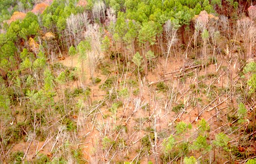
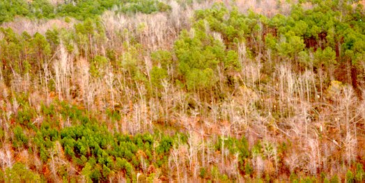
More downed trees in the wooded area.
Aerial Photos from
the Marion-Russell Rd area
Aerial Photos from the Dalewood
area
Back to 12/16/00 Russell-Dalewood
Tornado
![]()
Page last modified 31 December, 2003